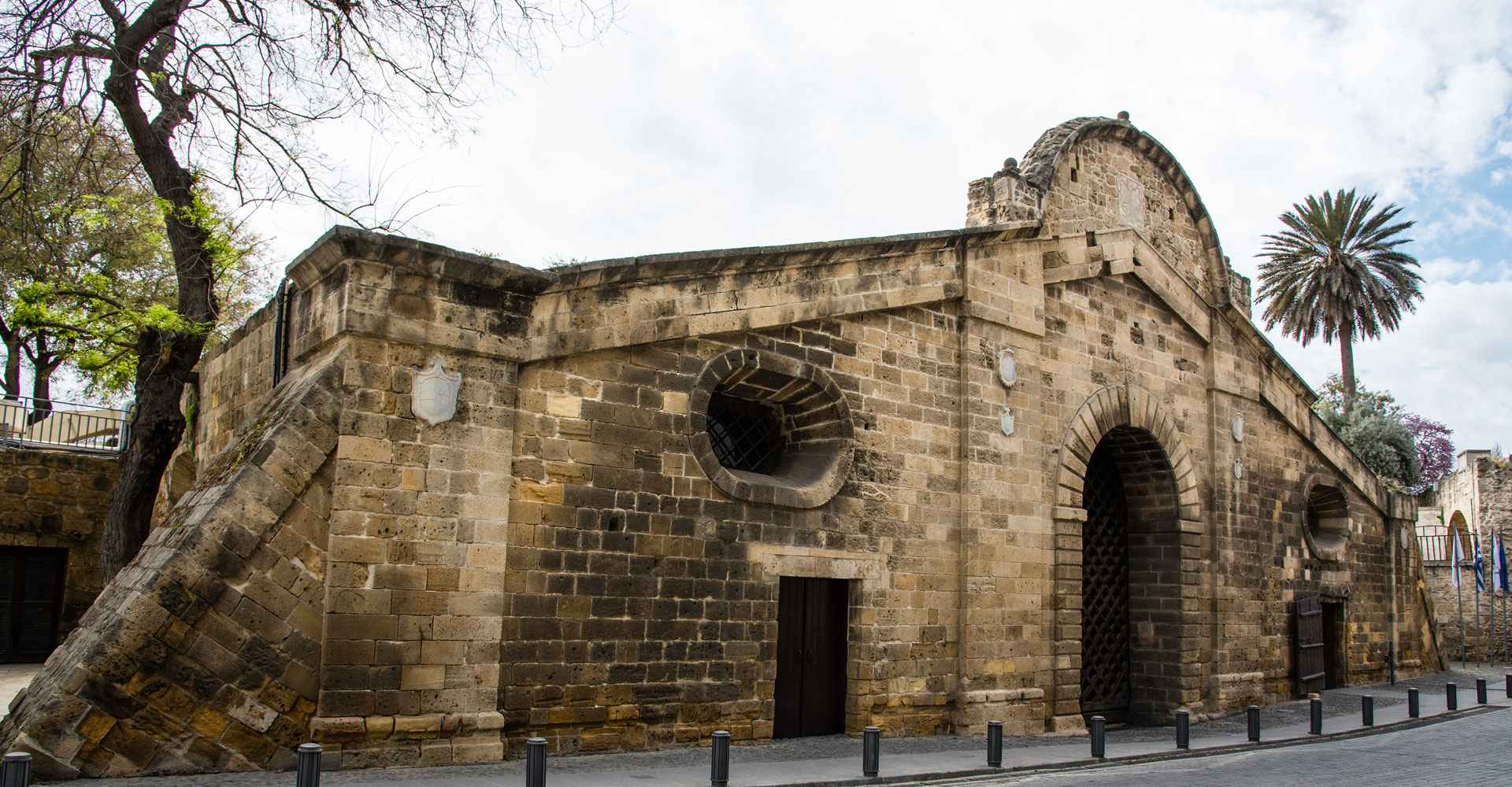
Πύλη Αμμοχώστου – Επαρχία Λευκωσίας
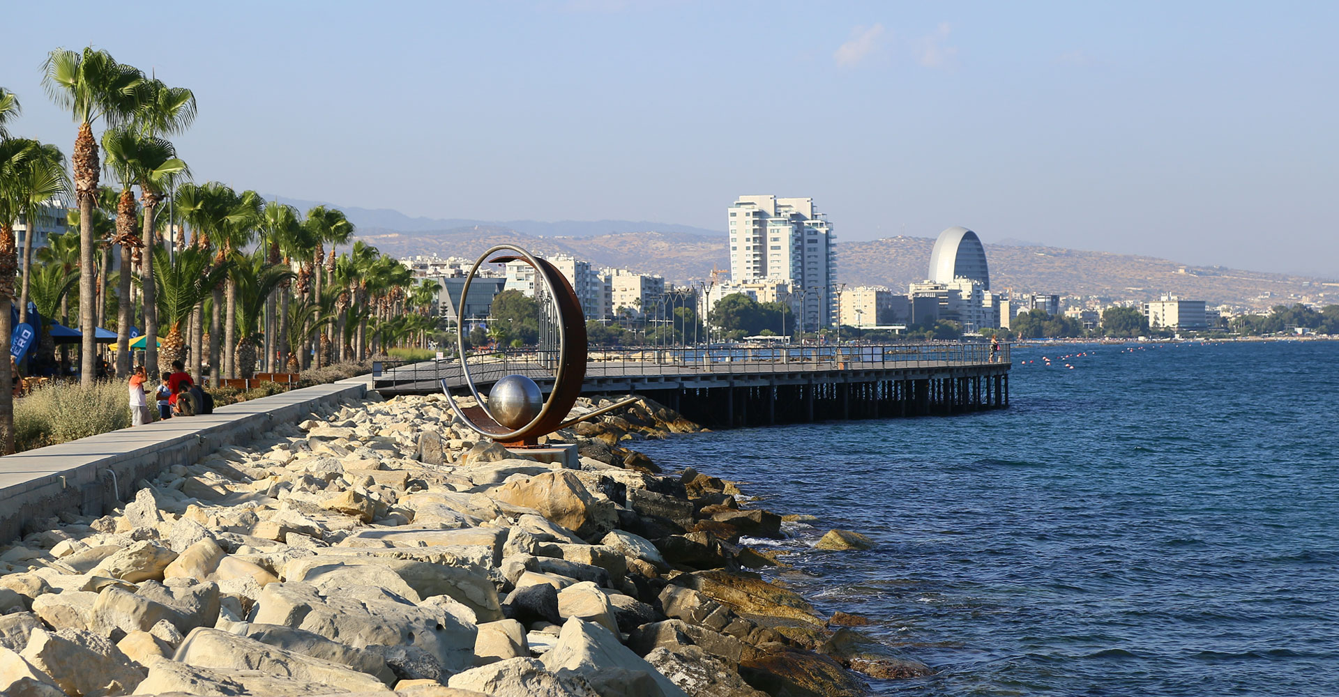
Παραλιακό μέτωπο – Επαρχία Λεμεσού

Λίμνη Αλυκής – Επαρχία Λάρνακας
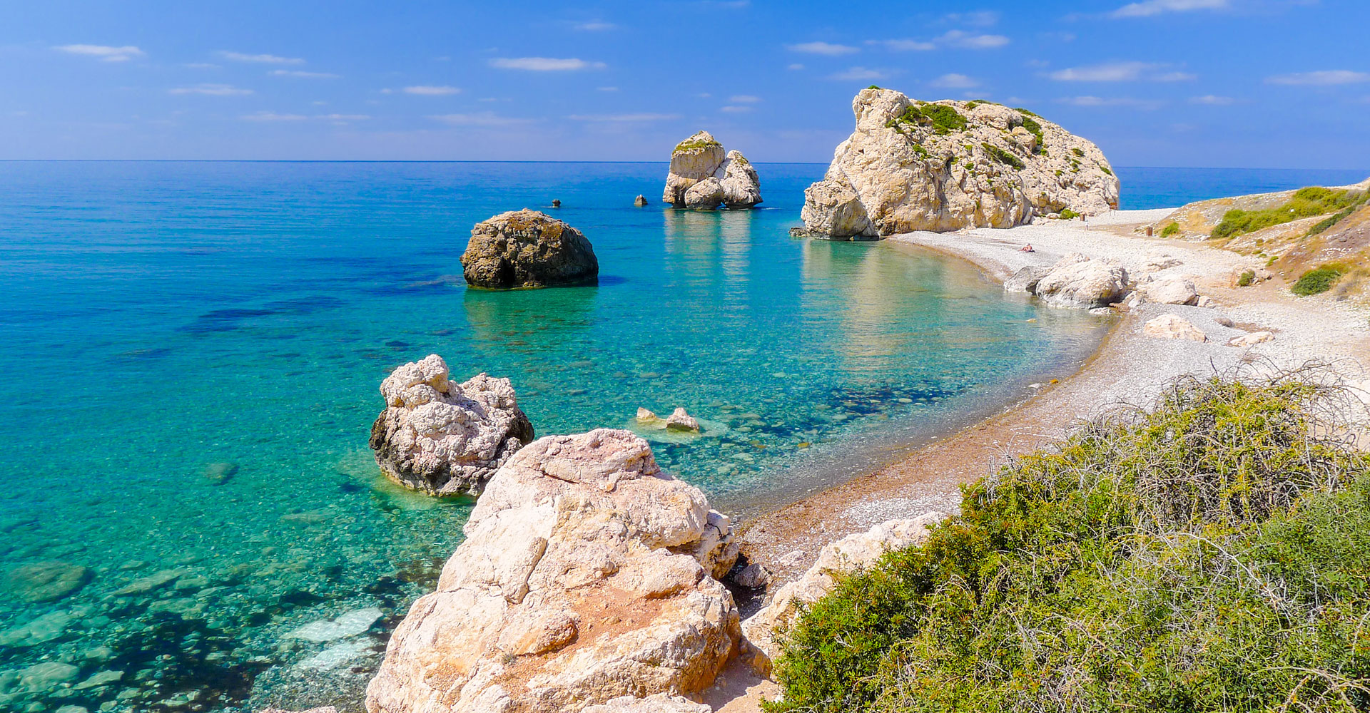
Πέτρα του Ρωμιού – Επαρχία Πάφου
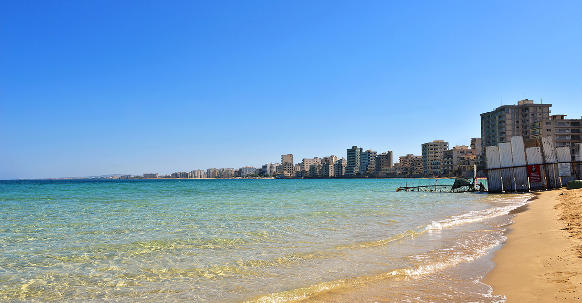
Παραλία Πόλης Αμμοχώστου - Επαρχία Αμμοχώστου
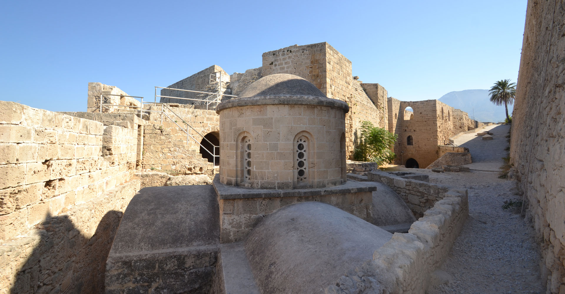
Κάστρο της Κερύνειας – Επαρχία Κερύνειας
Athienou
Contact Details
2 Archiepiskopou Makariou III Avenue
7600 Athienou
Cyprus
Mayor: Kyriacos Kareklas
Tel.: +357 24811370
Fax: +357 24522333
Email: mail@athienou.org.cy
Website: www.athienou.org.cy
A few words
History – Establishment of the Municipality
The history of Athienou has the same duration as Hellenism in Cyprus.
Seeking the principles of its existence, somebody reaches the first Greeks who arrived in Cyprus more than 3,000 years ago and established the first Greek kingdoms on the island. Among the ancient kingdoms was the Kingdom of Golgoi.
Theocritus, already in the 3rd century BC refers to Golgoi, saying that it is a city of Cyprus that took its name from Golgos, son of Adonis and Aphrodite. Golgoi became known pan-Hellenicly by the worship of Aphrodite, who was honored there before her worship was introduced to Paphos.
Athienou today is situated a little further south than the ancient Golgoi and it seems to have been named since the early years of the Frankish occupation, but this is not clear where it came from.
Athienou is one of the most ancient municipalities in Cyprus, been a Municipality since 1926.
Historical Features
Athienou is located south of the Mesaoria plain. During the Ottoman domination, it was a road junction, in the middle of the road connecting the port of Larnaca with the capital Nicosia. Taking advantage of this advantageous position, many Athienou people served the profitable profession of kiratzi (dagger, muller) by transporting people and merchandise with mules not only in the aforementioned cities but also in various other parts of Cyprus. During the Ottoman domination (1571 – 1878), most Europeans who traveled to Cyprus and wrote about it used kiratsis of Athienou during their tours along the island. The kiratsis contributed significantly to the development of Athienou.
Excavations made by the Jewish Archaeological Mission showed that the Athienou area was inhabited at least since the 14th century BC. In the 12th century, Achaioi from the city of Sikyona of Peloponnissos, Greece, established a colony in the area. Their leader was the Golgos, who gave his name to the city. The ruins of the fortified town of Golgoi are one kilometer north of Athienou. Golgoi experienced their greatest prosperity in the classical period (5th and 4th centuries BC). The most important cause of their acne was the existence in the area of the sanctuary of Aphrodite Golgia with a pan-Hellenic reputation. It is even more likely that the goddess Goghia was the one who gave the name to the city. The city was destroyed during the Hellenistic period (294-58 BC) after its siege and occupation by Ptolemy I at the end of the 4th or the beginning of the 3rd century BC. The settlement continued to exist during the period of Roman rule (58 BC – 330 or 395 AD) and during the Byzantine period (330 or 395-1191 AD), unknown by what name. The name Athienou is mentioned for the first time in the chronicle of the Cypriot chronographer Leontios Machairas, who lived between 1360 and 1450 AD, during the Frankish rule (1192 – 1489). The name Athienou has remained unchanged till today, although on Venetian maps it is noted corrupted as Atirna. The Turks named Athienou Kirakitzikioyiou, a village of kiratsis (daggers, mullers).
During the last years of Ottoman rule, Athienou was administratively owned by Famagusta’s kassa or chalet (district) of Famagusta and in the nahieh (nahieh=sub-administration, territory) of Mesaoria. This was the case and during the first decade of the British occupation, while Athienou was then under Nicosia and the territory Deyirmenlik or Kythrea. Since 1927 Athienou belongs to the district of Larnaca.
In 1926 Athienou became a Municipal town. At the request of its inhabitants, the municipality was abolished in 1935, but it was re-established in 1948. Since then, it has been operating unceasingly and it is an extremely important factor in the development of Athienou.
Name-Location
Today’s Athienou seems to have this name since the early years of the Frankish rule, but it is not clear where this came from. Many argue that the name Athienou came from the word “atta” or “atha”, which means great stone, and which indicated the stony ground in the area of the village. Others claim that the name was given to the village by a few residents of Athens, Greece, who came and lived in the area to remember their home town. Others claim the name to a Lusignian named Etienne, who owned a great part of the land in the area and people said “we go to Etiennou.” Slowly slowly this became ” to Athienou”.
It is a fact that Leontios Machairas, since the 13th century, refers to Athienou with its well-known name. Writing for the saints of Cyprus, Leontios Machairas states: “………… Saint Photios near Athienou …”.
During the English nomination (1878-1960), Athienou lost its privileged position, because Nicosia and Larnaca were connected with a new road passing through Pyroi and Koshi. A secondary road linked Athienou with the Nicosia – Larnaca road at a point near Pyroi. Through Pyroi the distance of Athienou to Nicosia was 13 miles (21km) and Athienou – Larnaca 16 miles (26km). After the capture of the Piroi by the Turkish troops in August 1974, Athienou was communicating with Nicosia with a new road, which was linked to the road Lympia – Dhali – Nicosia. Through this road the distance of Athienou to Nicosia is 35 km, while the distance to Larnaca via Koshi is 27 km. Since 1989 Athienou has been communicating with Nicosia and Larnaca via a four-lane highway, with which a secondary road is connected from Athienou to a point near Lympia. Via the four-lane motorway, the distance of Athienou to Nicosia is 38 km. For Larnaca the connection to the motorway is near Koshi and the distance is 33 km. Since 2003, Athienou has been linked to Larnaca via a road passing through Avdellero and joining near Aradippou by the Larnaca motorway – the tourist area of Ayia Napa and Paralimni.
A road east of Athienou connects it to the Turkish village of Melousia (3,5 km away) and from there to the mixed villages of Tremetousia and Arsos and the Greek Lysi, where it joins to the old Nicosia – Famagusta road. At the north of Athienou is the Turkish village of Agia (3 km distance) and the Greek Tymbou (5 km distance), with a slight deviation to the east the first and to the west the second. Their connection with Athienou was made by dirt roads. Northwest of Athienou is the mixed village Pyroi (6 km away) and 1 kilometer further the Markos. Southwest of Athienou is the Turkish village of Petrofani (3 km away) and 2 km further is the archaeological site of Malloura. Just south of Athienou is the Greek village of Avdellero (6 km) and southeast the Greek village Troulloi (7 km). The old road of Athienou – Avdellero was asphalted in 2003, while the one to Troulloi remained for coaches.
Reference and Special Interest Points
The traditional center of Athienou retains the features of the medieval architectural heritage. The policy of preservation and revival in the traditional center and more generally in the municipal area was the basic aim of the Municipality of Athienou, despite all the interventions, the new additions and the wear and tear over time.
The Municipality of Athienou, with the main aim of implementing a policy of preservation and revival of the traditional center and of the wider region, proceeded with the purchase of remarkable and serious architectural value, as well as significant historical reference, buildings, with the aim of transforming them into preservatives, highlighting the traditional local architectural heritage and culture. Some of these, which are of special interest, are the following.
- Father’s house of famous monk Kallinikos Stavrovouniotis and Cheese House. Here takes place the presentation of the traditional halloumi preparation.
- House of George and Fotini Pougerasi. It has been rented to individuals and operates as a hostel and cafeteria, under the name “Athieno”.
- Traditional Flour Mill. Here takes place a presentation of traditional bread making.
- An old coffee shop that operates as a Youth Multicultural Center.
- Also, in cooperation with the Department of Antiquities of Cyprus, the old “Hani”, a remarkable building of the past, has been restored.
Other remarkable points of reference and of special interest are:
- The archaeological site of Malloura, with excavated graves and more.
- The Kallinikeio Municipal Museum, a remarkable museum with ancient finds of Golgoi and Malloura, a Byzantine collection of icons by the famous monk and icon-painter Kallinikos Monachos and many others. The Museum is housed in the same building of the imposing Kallinikeio Municipal Hall.
- The churches of Athienou. The old church of the Virgin Mary of Chryseleoussis of 1711, declared an ancient monument, the entirely icon painted on roof and walls new church of Virgin Mary of Chryseleoussis, which includes the Slipper of Saint Spyridon and the bones of the patron saint of Athienou, Saint Fokas, the old churches of Saint Phokas and Saint George and others.
- The excellent Constantineio Municipal Park.
Elements of Athienou in the National Catalog of Intangible Cultural Heritage of Cyprus
The Municipality of Athienou and the Kallinikeio Municipal Museum of Athienou, after research and collaboration with various local actors, have so far achieved the inclusion of three elements in the National Catalog of Intangible Cultural Heritage of Cyprus. The elements are: “Venis laces” or “pittotes” and Athienou lace full of lace (2015), “The tradition of bakery in Athienou” (2018) and “The Feast of Saint Fokas in Athienou” (2018).
Also, for the year 2018, the UNESCO National Committee of Cyprus, in accordance with a decision of the Special Committee on the Intangible Cultural Heritage, approved the “Athienou Loukkoumi of Wedding” to be included in the “Customs of the traditional Cypriot marriage” already registered in the National Catalog.
Other information
- Volunteerism is booming in Athienou. The City has been approved as a Best Practice City, within the framework of the European URBACT Program, and has been approved as a Lead Partner in a Transfer Network for transferring its Good Practice in 7 other European cities.
- At the beginning of October of each year, Constantineio Municipal Park is hosting the Pancyprian Festival of Athienou Products, where all the Athienou products are presented (dairy products, bread, trachanas, sweets, eggs, ofto of Athienou, feast items, Athienou nuts, spoon sweets, liqueurs, traditional embroidery, etc). During the festival takes place a representation of the production of halloumi, spoon sweet of almond and the Athienou bread, and this is enriched with exceptional artistic activities.
At a glance
Aradippou
Contact Details
P.O.Box: 45024
7110 Aradippou
Cyprus
Mayor: Christodoulos Partou
Tel.: +357 24 811081
Fax: +357 24 811080
Email: municipality@aradippou.org.cy
Website: www.aradippou.org.cy
A few words
Aradippou is situated in Southern Cyprus, with a small distance from the International airport of Larnaca. The village used to be traditionally for farmers but its view changed after the Turkish invasion in 1974 as well as due to the economic explosion which followed. In the present day Aradippou constitutes a nodal point at the international road network of the island and the nodal transportation of Rizoelia which is known to every Cypriot. Aradippou received its township in 1986 and it has gradually been established as one dynamically evolving vigorous town.
After its proclaim as a town, Aradippou defined the municipal limits and is the second biggest municipality of Cyprus in an extend to a land of 42.982 square governmental acres. The resident population of Aradippou today reaches 20.000 residents.
Our town was named after its settler, King Aradippos. The ancient spade brought to light the architectural and other findings which are dated since the Ancient times. Aradippou was excellent during the Middle Ages, because of the Royal Villa called as ‘The Despotissa Courtyard’ which belonged to Mrs Margarita de Louzinian, the sister of Leo the 6th and Amori’s granddaughter, the Prince of Tyrou.
The cultural development of the community is redound methodically and organized with different honours events for persons who have been distinguished and offered a lot to Aradippou, with elections, anniversaries events, exhibitions, publications and much more. The achievement of the objectives for cultural development constitutes the establishment of artistic-folklore events (on 18th of October) which basically has a folklore character.
Aradippou hosts within the municipal boundaries, the biggest part of the industrial zones which serve the wider region of the urban cluster and throughout Cyprus. These are: the free zone trade, north of the motorway Larnaca-Limassol, the industrial zone with limited degree of perturbation (Zone Ba3) north of the motorway Larnaca-Kofinou and governmental industrial area of Larnaca which although it has joined the municipal boundaries of Larnaca in terms of location is located in the area of Aradippou.
Aradippou is also famous for its numerous churches and chapels. The oldest church of Aradippou is Apostle of Loucas. The size of the church today takes the third position in line and was built in 1959 in order to cover the increasing needs of the population in Aradippou. The first church was built in 1700 AD in the same area but much smaller and the second one in 1851 AD on the foundations of the first one. In 1960 the church was destroyed due to a fire, part of the iconostasis. Miraculously nothing happened to the Saint’s figure and was not destroyed at all and today is still rescued as a remarkable legacy. Other temples of the community is Saint Phanurius and Saint Spyridonas and the newly contructed temple of the Apostle Varnavas. The most well-known chapel of Aradippou is ‘Panagia twn Ampelion’. The chapel is built on the ruins of an old temple which was destroyed by the Saracens in 1425.
At a glance
Dromolaxia – Meneou
Contact Details
Eleftherias 10
7020 Dromolaxia, Larnaca
Cyprus
Mayor: Kypros Andronikou
Tel.: +357 24422414
Fax: +357 24424721
Email: info@dromolaxia-meneou.com.cy
Website: www.dromolaxia-meneou.com.cy
A few words
Our Municipality
According to the law which came into effect on July 1, 2024, the Municipality of Dromolaxia-Meneou is one of five municipalities in Larnaca district. It consists of the municipal districts of Dromolaxia-Meneou, Kiti, Pervolia, and Tersefanou. Today, the Municipality of Dromolaxia-Meneou has population of over 17,000 residents.
The Municipality is home to six primary schools – two in Dromolaxia, one in Meneou, one in Kiti, one in Pervolia, and one in Tersefanou. Additionally, there are five preschools, one in each community, as well as Community Welfare Council (CWC) in Dromolaxia. The Community Welfare Council is run by volunteers while funded by the Municipality, and provides high-quality services to the residents. Moreover, there is a Regional Secondary School located in Kiti.
The Municipality also features two large industrial areas in Kiti and Dromolaxia, as well as four livestock farming zones. One prominent point of the Municipality is well-developed commercial street between Meneou and Kiti, connected to the extensive seafront too, which stretches from Meneou through Pervolia, passing the impressive Lighthouse area with water sports and organized beaches, and ending in Softades area of Kiti, where the Kite Surfing Beach is located.
The Municipality of Dromolaxia-Meneou enjoys a privileged geographical position with a long seafront. It is close to Metropolitan Municipality of Larnaca and has direct access to Nicosia and Limassol highways. Larnaca International Airport is also within the municipal boundaries. These factors create favorable conditions for residents and also attract investors into various sectors.
Points of Interest
- Regina’s Tower in Pervolia
The Tower dates back to around 1489–1570; it’s a medieval building which served as a watchtower. A garrison was stationed there to send signals to Larnaca city troops in case of emergency. According to folklore, the mythical Queen Regina of Cyprus used an underground tunnel beneath the Tower as an escape route during invasions or to reach her baths in Tersefanou.
- Lighthouse in Pervolia
Built in 1860, the Lighthouse is one of the first constructed in Cyprus. The Lighthouse remains a landmark for the Municipality, as it continues to guide maritime routes even today. The Lighthouse area is known for both well-documented and undiscovered shipwrecks.
- Church of Panagia Angeloktisti in Kiti
The Church of Panagia Angeloktisti (Virgin Mary Church Built by the Angels) is a Byzantine temple built in the 11th century on the site of an early Christian basilica in Kiti village. It is renowned for its preserved early Christian mosaic in the apse. In 2015, the church was proposed to enter UNESCO World Heritage List, and in December 2024, the Department of Antiquities submitted the official application. For the time being, it is included in the tentative list of candidate monuments.
- Medieval Bridge in Kiti
Dating the bridges based on their morphology is challenging, as pointed arches were used for centuries, while semicircular arches – abandoned during the Frankish rule period – were reintroduced into use during the Venetian and Ottoman periods. Of the medieval Bridge in Kiti, the only part survived, is on the western bank of the river. The Bridge features Lusignan-era coats of arms, possibly from the 15th century, and consists of two pointed arches with a strong footing between them, reinforced by the buttress towards the upper side of the river flow.
- Old Aqueduct (Kamares) in Dromolaxia
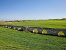
The area of Paliomyloi (Old Mills), located 1.5 km northwest of Dromolaxia is worth of historical interest. Here, one can see the remains of a watermill at the end of the Kamares Aqueduct section. Historical records indicate that in the mid-14th century, the army of King Peter I of Cyprus would stop here to collect wheat and water before starting his campaigns against Muslim countries.
- Salt Lake in Meneou
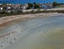
Located behind the Larnaca Airport, the Salt Lake is the Municipality’s most important wetland habitat for water birds. The area is protected under the Ramsar Convention and NATURA 2000 network. During winter, one sees a rich spectacle while the Lake fills up with water and becomes haven for migratory birds. Flamingos are the most striking visitors, staying between November and March. Other species, such as wild ducks and wading birds, also use the Lake as a temporary refuge, till they continue their migratory journey.
- Havouza Fountain in Tersefanou
The large Havouza (Water Basin) is a beautiful stone-built fountain located near the village’s main square. Built in 1904, it was initially supplied with water from a well located in the village square. In 1920, a woman named Christina had a vision, and a new water source was discovered in an ancient underground tunnel. A second fountain was built opposite the tunnel, and since then, both fountains have been supplied by water from the ancient tunnel.
- Chapel of Saint George of Arpera in Tersefanou
The Chapel of Saint George of Arpera is a single-aisle, barrel-vaulted building constructed from hard and porous stone (sandstone). It features five buttresses on its northern and southern exterior walls. The Church was built in 1745 by Christofakis Constantinou, a Dragoman (Diplomatic Interpreter) of Cyprus. It is the only remaining structure from the medieval village of Arpera, which flourished in the 18th century. An inscription accompanies a dedicatory fresco and records the Church’s construction, showing Christofakis and his family offering the Church model to Saint George.
- Organized Beaches
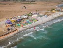
The municipality boasts 10 km seafront, stretching from Meneou to Softades area in Kiti. Meneou Beach is an organized beach with a snack bar and lifeguard services during the summer months. The Lighthouse Beach in Pervolia is one of the best beaches in Larnaca and holds a Blue Flag certification. It is a sandy beach with a significant wave depth, beach sports facilities, and water games. Natural tree-covered embankments protect the beach from northern winds, giving it a tropical appearance.
Our Municipality also houses well-organized Kite Surfing Beach in Softades area of Kiti. This location surpasses many kite surfing destinations worldwide due to its seven-month-long stable thermal winds and shallow, warm waters free from dangerous marine life. Each year, the sport gains more and more enthusiasts, as Kiti-Softades area remains the only properly organized kite surfing location in Cyprus to truly serve kite surfing fans.
At a glance
Larnaka
Contact Details
P.O.Box: 40045
6300 Larnaka
Cyprus
Mayor: Andreas Vyras
Tel.: +357 24653333
Fax: +357 24653384
Email: municipality@larnaka.org.cy
Website: www.larnaka.org.cy
A few words
The Municipality of Larnaca is one of the five municipalities of the district. It consists of the Municipal Quarter of Larnaca, the Municipal Quarter of Livadia, and the Municipal Quarter of Voroklini. The city of Larnaca, located on the southeastern coast of Cyprus, combines modern development with a rich history, offering a unique cultural and natural heritage.
Historical Significance
The establishment of the municipal authority in Larnaca dates back to 1858, during the Ottoman era. Larnaca was the most important port on the island during the Ottoman period and one of the seven major ports of the Ottoman Empire. Today, it still hosts one of the largest ports in Cyprus and the island’s main international airport.
Following the Turkish invasion of 1974 and the loss of the northern part of Cyprus, the city hosted a large number of refugees and became a key factor in the development of the island’s tourism and commercial activities.
Name & Location
Larnaca is known from ancient times as the successor city of Kition, and its name derives from the Greek word “larnaca,” meaning sarcophagus. The Municipality of Larnaca is located in the city center. To the east, it borders the Municipality of Dromolaxia-Meneou, and to the north, it borders the Municipality of Aradippou. The southern and eastern parts of its jurisdiction are coastal. Within the municipal boundaries of Larnaca are the Larnaca International Airport and the Port of Larnaca.
Points of Interest
The Municipality of Larnaca is rich in cultural monuments and natural attractions. Significant landmarks include:
• St. Lazarus Church: From the Byzantine era, it is one of the most important religious monuments in Cyprus.
• Hala Sultan Tekke: The most important Islamic pilgrimage site in Cyprus, located near Larnaca Salt Lake.
• Old Aqueduct (Kamares): An Ottoman-era structure, one of the most impressive infrastructural works of the city.
• Larnaca and Voroklini Salt Lakes: Two natural lakes that are significant ecological and tourist destinations.
Additional Information
Larnaca is one of the main tourist destinations in Cyprus, with coastal areas such as Mackenzie Beach and the port area, and is famous for its vibrant nightlife. The city also hosts the island’s busiest international airport, which is a key air transport hub for the region.
With its rich cultural, religious, and natural heritage, Larnaca continues to be one of the most important cities in Cyprus, uniquely blending the past and the present.
At a glance

Pano Lefkara
Contact Details
P.O.Box: 46005
7705 Pano Lefkara
Cyprus
Mayor: Sofoklis Sofokleous
Tel.: +357 24342422
Fax: +357 24342769
Email: info@lefkara.org.cy
Website: www.lefkara.org.cy
A few words
LEFKARA
Lefkara is home to the traditional Cypriot embroidered lace, the well-known «lefkaritiko». It is said that the famous Renaissance artist Leonardo da Vinci visited Cyprus at the end of the 16th century and came to Lefkara, where he bought a large ornate tablecloth, which he gifted to Milan Cathedral. The village is located on the south-eastern slopes of the Troodos mountains at 650m above sea level, some 45km from Lefkosia (Nicosia), 30km from Larnaca Airport and just 12km from the Lefkosia – Limassol motorway. The name Lefkara comes from the colour of the limestone that surrounds the village: Lefka (Greek for white) + ori (Greek for mountains, hills) = Lefkara.
LEFKARA LACE
Lefkara lace is the finest example of what embroidery and folk art in Cyprus has to offer. It is a valued specimen of embroidered artwork, which reflects the strength and sensitivity of the women of Lefkara. The competent hands of the embroiderer create perfect artistic designs. Lefkara lace reached its peak as an art in the period 1920-1930 when, according to some experts, it was among the finest handicrafts in the world. In 2009, it was added to the UNESCO list of intangible heritage items.
SILVERSMITHING
In addition to Lefkara lace, another craft that has thrived here for decades is silversmithing. Hand-made jewels, spoons, censers and other ecclesiastical implements, candle burners, processional staffs, crosses etc. are made locally, while silver and gold are also used to coat icons and bibles.
VERNACULAR ARCHITECTURE
Lefkara is a large settlement whose main architectural characteristic is the fact that buildings are concentrated in a dense area and are mostly terraced. The houses are built from stone with tiled roofs, balconies and inner courtyards, filled with flowers.
The roads are narrow and often lead to a dead end, with balconies so tightly close that they almost appear to merge one into another. Several of the narrow picturesque alleyways are paved and blend in with the stone walls of the buildings.
FOLK ART MUSEUM
Visitors to the Museum can see exquisite samples of embroidered lace, some of which date back to the 19th century, typical examples of silver craft, traditional costumes and photographs of times gone by. The building in which the museum is housed is in itself a typical example of vernacular architecture in the 19th century.
CHURCH OF THE HOLY CROSS
The most significant monument of vernacular architecture in the village is the Church of the Holy Cross, which dates back to the 14th century.
It is one of three churches in Cyprus said to hold a fragment of the Holy Cross. The church’s wood-carved iconostasis, which was gold-coated in 1761, is highly valuable.
THE CHAPELS AROUND LEFKARA
There are many chapels in Lefkara. This is because of the religiousness of the locals, who contributed to the construction of eighteen chapels in many neighbourhoods of the village and the surrounding area, some of which are superb examples of Byzantine architecture.
GASTRONOMY
At the village restaurants, visitors can enjoy local dishes, such as the famous Lefkara ttavas and “koupepia” (stuffed vine leaves). The restaurants also serve and sell the Lefkara “loukoumia” and “sykopittes” (fig pies).
The village has a small but pleasant hotel and several dwellings developed for agrotourism. The village has banks, a local hospital, post office, police presence, coffee shops, restaurants, supermarkets and kiosks.
BACK COVER:
The village of Lefkara is located on the south-eastern slopes of the Troodos mountains, some 45km from both the capital Lefkosia (Nicosia) and Limassol and 30km from Larnaca airport.
Lefkara is famous for its lace and silversmithing.
Visitors to the village can watch the women of Lefkara embroider lace as they sit outside their shops and homes in the village. The village has several silversmith workshops that make hand-made jewels, spoons, censers, crosses etc. and traditional delights from the local industry.
Visitors can also head for some of the local taverns and restaurants, which serve traditional foods, such as the famous Lefkara ttavas.
The most significant monument of traditional local architecture in the village is the Church of the Holy Cross, which dates back to the fourteenth century and is one of three churches in Cyprus said to hold a fragment of the Holy Cross.
The architecture of Lefkara is unique. Houses are built from the traditional Lefkara stone and blend harmoniously with the landscape of the village.
At a glance
LINKS
Contact us
Address:
78, Rigainis Str. CY-1010 Nicosia
P.O.Box 22033, CY-1516 Nicosia, Cyprus
Tel: +357 22 445170
Fax: +357 22 677230
Email: endeky@ucm.org.cy
