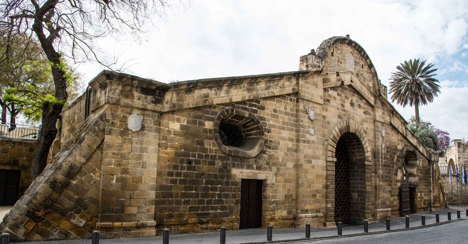
Πύλη Αμμοχώστου – Επαρχία Λευκωσίας
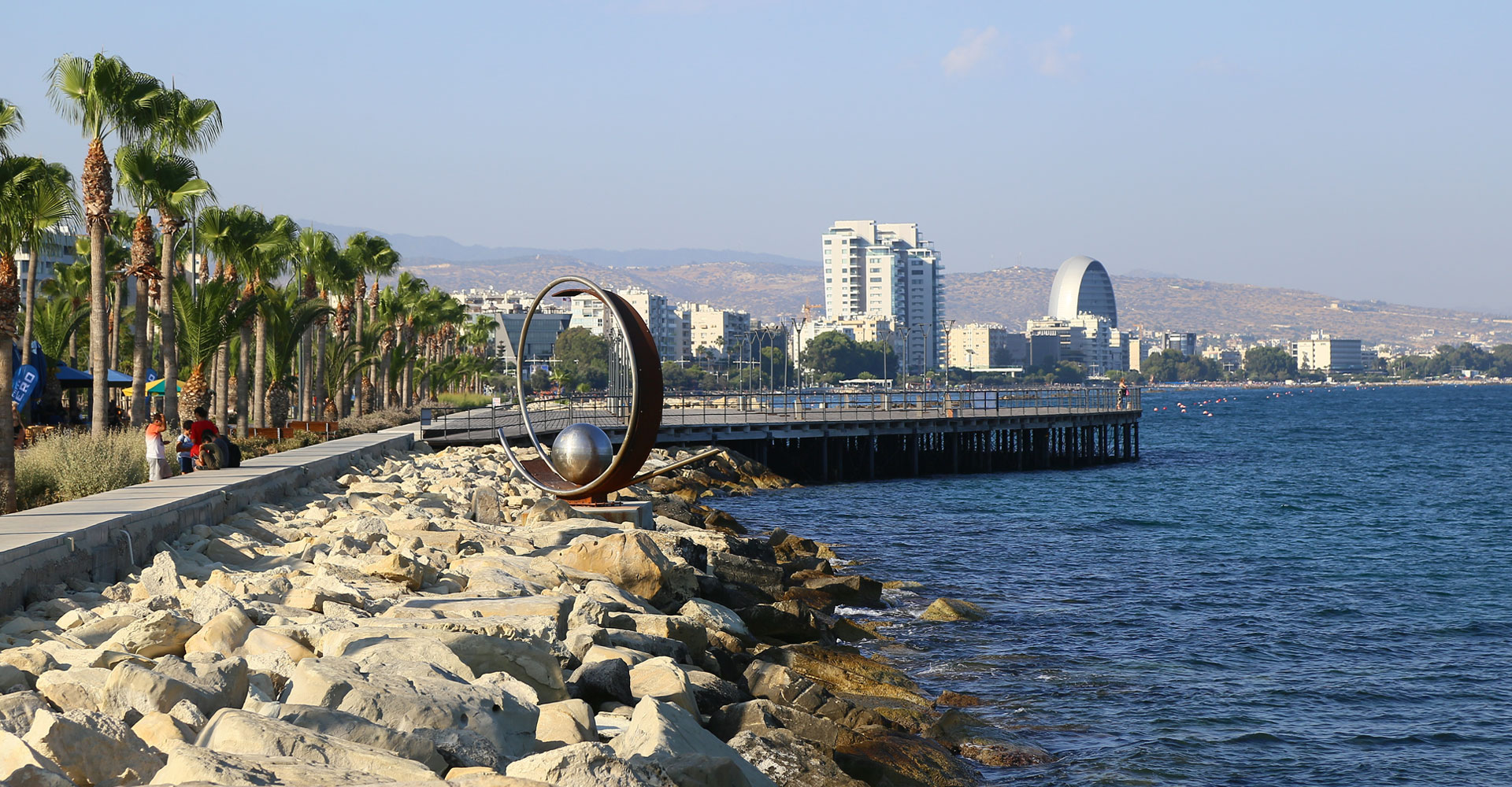
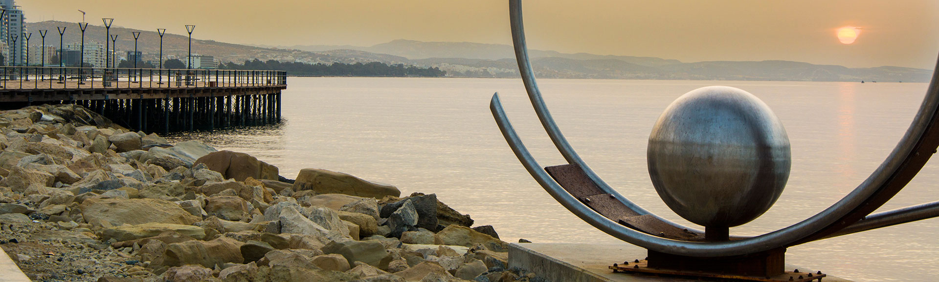
Παραλιακό μέτωπο – Επαρχία Λεμεσού

Λίμνη Αλυκής – Επαρχία Λάρνακας
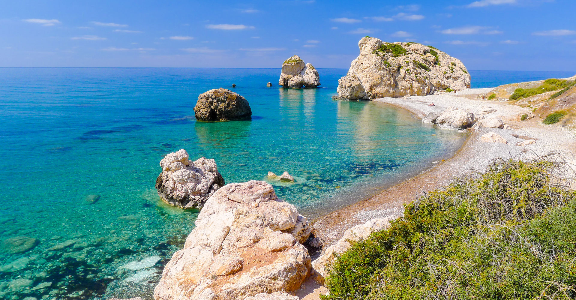
Πέτρα του Ρωμιού – Επαρχία Πάφου
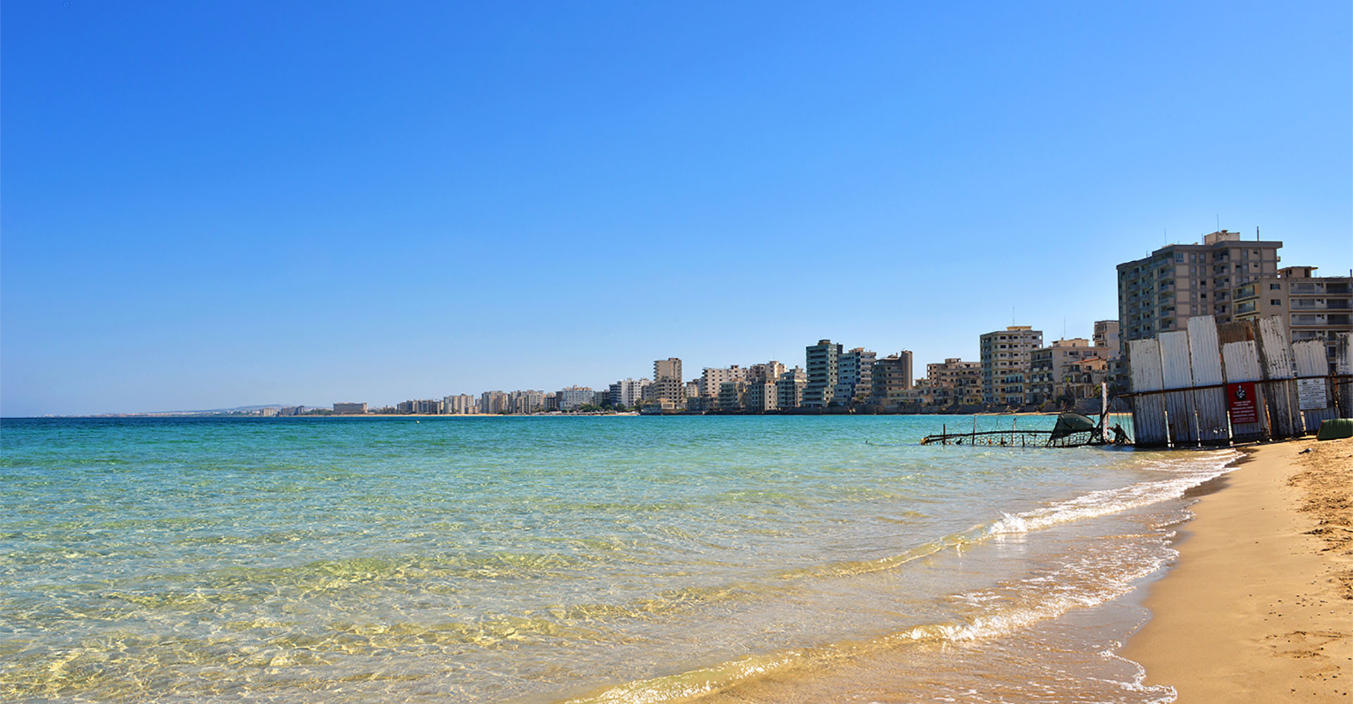
Παραλία Πόλης Αμμοχώστου - Επαρχία Αμμοχώστου
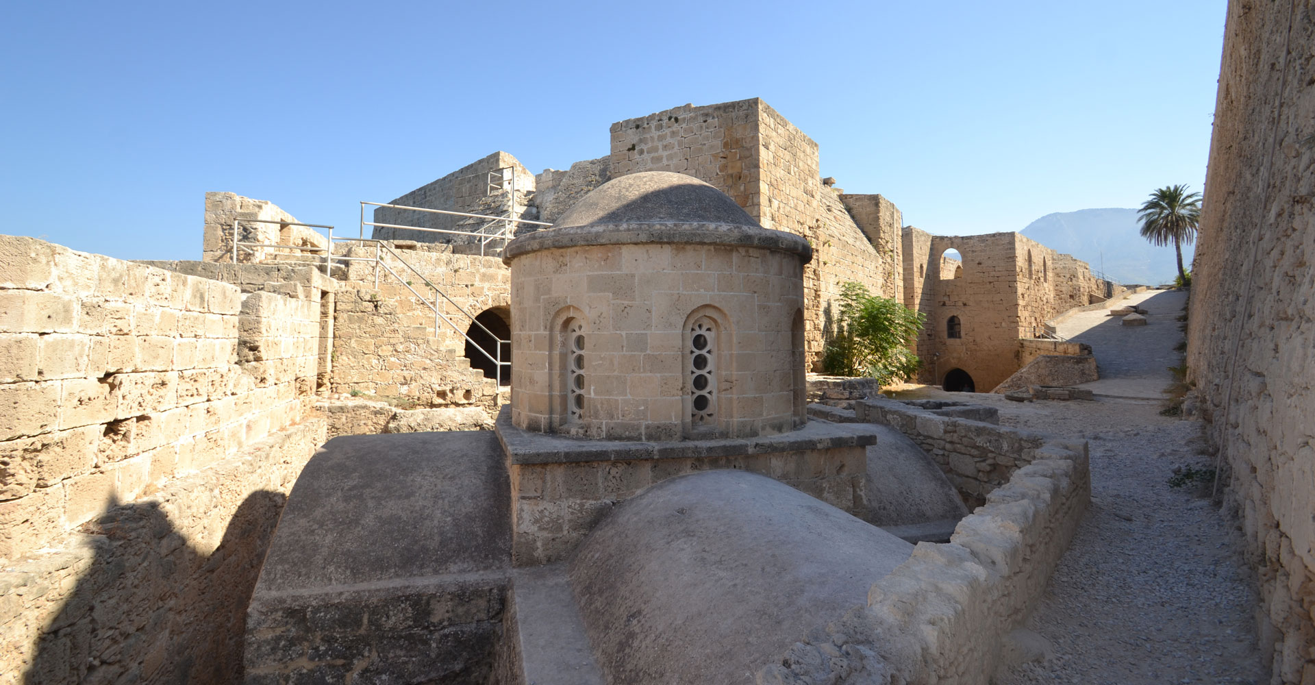
Κάστρο της Κερύνειας – Επαρχία Κερύνειας

Amathounta
Contact Details
42 Stavraetou Machera Str.
4104 Agios Athanasios
Cyprus
Mayor: Kyriacos Xydias
Tel.: +357 25724135
Fax: +357 25725010
Email: municipality@amathounta.org.cy
Website: www.agiosathanasios.org.cy
A few words
Agios Athanasios is located 3km north-east of Limassol, built in a small valley with hills, in an open sea-view location of Limassol which extends to the sea side. It was named after Saint Athanasios, the patron saint of the community.
Based on archeological findings in the area, the origins of its inhabitants trace back to the late Bronze Age. What started out to be a small rural community between the early and mid-21st century, it later turned into a small village with a population of 400 inhabitants. The population of the Municipality has been more than doubled after the Turkish invasion of 1974, with the establishment of two refugee settlements in the area, hosting about 6000 refugees, most of whom were the families of missing persons. Thus, Agios Athanasios rightfully came to be considered as “The refugee capital”.
During the same year, the community has been upgraded to an Improvement Board and pursuant to a referendum, to a Municipality in May 1986. Agios Athanasios was, thus, making its first steps towards administrative autonomy.
Agios Athanasios is a compound area, where the ancient and contemporary elements blend, where the urban and rural elements are combined, where the industrial and educational elements meet. It is a small developing town, which beautifully combines the advantages of an old traditional village and the comforts of a modern town. The core of the old village remains alive, co-existing with the new neighborhoods. Hotels, tourist apartments, tourist and other businesses, services and shops are located in the southeast coastal side of the town. Within the boundaries of the Municipality there is an Industrial Estate mainly for light industry and manufacturing.
Fifty years ago, it was a small rural community with a poor agricultural productivity and the largest part of its soil was infertile and rocky; only a few families had enough income. That is why most young people followed the road of “living abroad” in search of a better ≪life chances≫ as Weber would argue. The residents were mostly preoccupied with agriculture and livestock farming, cultivated cereals and had a lot of locust trees. The area was offered for livestock farming and most residents in the area had goat and sheep herds. Many residents dealt with the extraction of plaster stone and the well-known matsaggana stone, which was used for building houses and churches. Another group of residents dealt with the construction of lime and in the area there used to be a great number of quarries and many lime kilms. Also, many residents were lumberjacks and supplied the town of Limassol with firewood. After the Turkish invasion, Agios Athanasios is undergoing an enormous constructural, industrial, tourist and economic development whilst today the population reaches approximately 15.000 residents.
Agios Athanasios is today one of the most developing areas of Limassol where many people choose to live.
The existence of the Agios Athanasios and Kyrillos church back to the 17th century is evidence of the continuous presence of people in the area to this day whilst the presence of Panagia Sfalaggiotissa Monastery back to 1574, shows that the area was considered to be safe for worshipping.
Churches in Agios Athanasios:
The Holy Monastery of Panagia Sfalaggiotissa (1574), The church of Agios Athanasios and Kyrillos (1600). The Chruch of Saint Minas (1900), The church of Saint George Frangoudis (1990), The Church of Saint Kosmas Aitolos (2011), The Church of Saint Stylianos located in the refugee settlement in Linopetra (1993), The Church of Apostle Loucas, Saint Marina and Saint Thirsos in the refuge settlement of Agios Athanasios (2006), the Coptic Orthodox Church (2000).
The following are considered points of reference of the 30-year history of the municipality:
- The Town Hall constructed in 1995 in the periphery of the old traditional village core, which houses on the first floor the Municipal Theatre/ Cultural Events Hall for 500 people and serves the major city of Limassol. The whole building is a sample of modern infrastructure in the municipality.
- The Municipal Cultural Centre a traditional more than hundred years old stone-built building which used to be the primary school in the old days. This has been renovated and restored under the guidance of the Governmental Planning and Housing Department and it is currently hosting cultural events, civil marriages, exhibitions, conferences etc.).
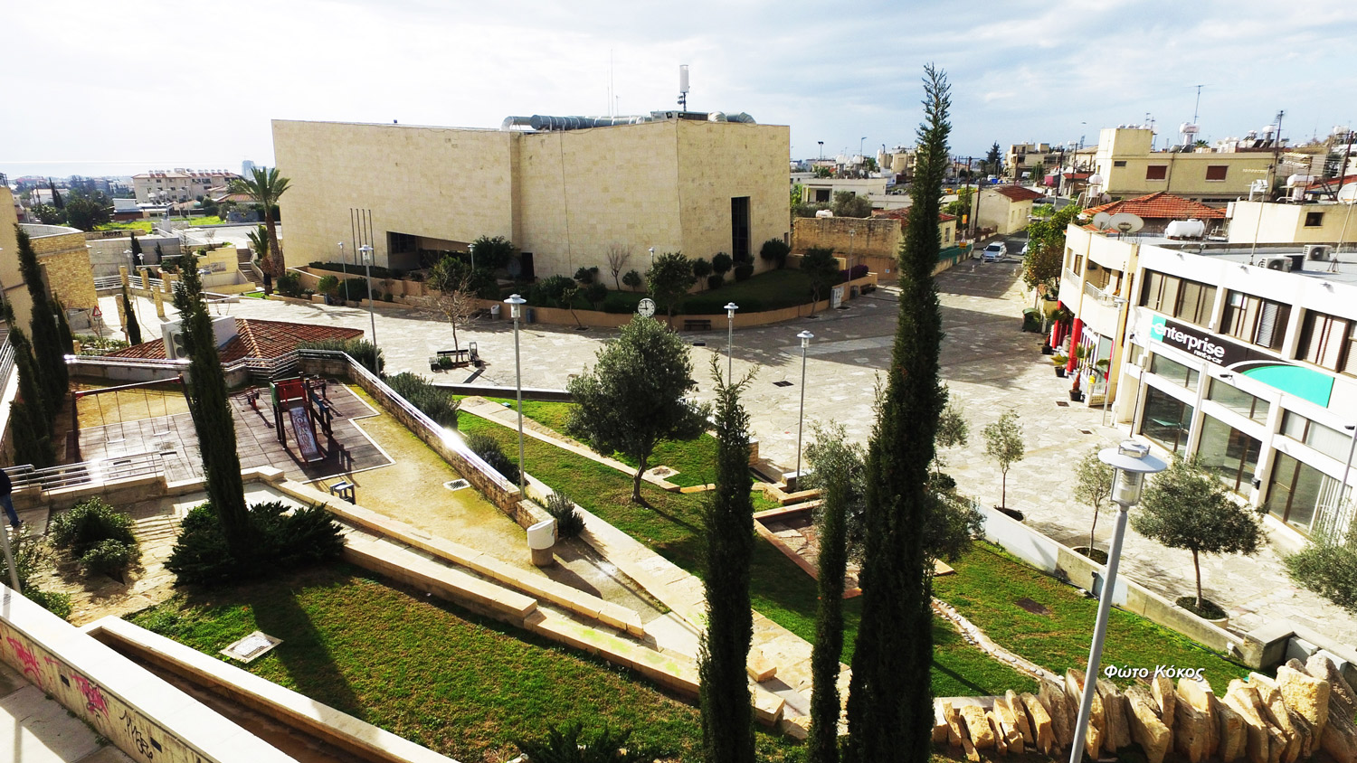
- The upgrading of the central Square, the focus point of Agios Athanasios. It’s a project about upgrading the central area of Agios Athanasios Municipality, mainly the area adjacent to the Town Hall, executed in three phases. The main objectives of the project provided for the construction of a new road that would run along the east side of the Town Hall, and diverts the traffic to the side of the building, so that the area is a car free zone for people to enjoy since the creation of the square became possible and transformed a space into a place of recreation and relaxation, for entertainment, for social and cultural gatherings and outdoor activities. Some of the buildings facing the square were refurbished and housed a variety of uses like municipal library, cafeteria, kiosk, youth center, learning center for foreign languages, etc.
The project also included the design of sport activities area and numerous parking spaces, children’s playground whilst open spaces were landscaped in a way that protect, maintain and preserve the natural environment. - The Municipal Folklore Museum – “Co-Op Bank (SPE) of Agios Athanasios Museum”. The mansion of the Sofroniou family in the core of the traditional village of Agios Athanasios has been restored in order to be converted on a second phase into the “Municipal Museum of Living History – SPE of Agios Athanasios Museum”. The project was fully funded by the Cooperative Savings Bank of Limassol.
The whole structure consists of several buildings with outstanding traditional features which have been restored to their former glory and became one of the most beautiful examples of traditional architecture.
In the southeastern side of the property, the building was used by Co-Op Bank (SPE) of Agios Athanasios, in its founding years of August 1929 until 1977. The owner of the property Georgios Sofroniou the mouktar of Agios Athanasios has also been the secretary of the Committee of SPE of Agios Athanasios for several years. This is why a specific part of the Museum will house the Museum of SPE of Agios Athanasios. - Co-Op Bank (SPE) of Agios Athanasios
1929 has been a remarkable year for Agios Athanasios history since 12 visionary habitants took the historical decision of establishing the Co-Op Bank (SPE) of Agios Athanasios which contributed to the changing of the financial history as well as to promoting the enormous development of the community throughout the years.
It was in January the 9th, 2009 when SPE was eventually consolidated with the Cooperative Savings Bank of Limassol after an 80year of valuable and continuous contribution to Agios Athanasios community and its people.
SPE has been for decades the financial sponsor of the community in the older years and of the municipality in the years that followed. It kept on supporting on a systematic basis all charity, sportive and cultural events organized by sundry groups of the community.
During the 80 years of its historical existence, Co-Op Bank (SPE) of Agios Athanasios, has always been an example of a reliable bank institution, due to its continuous compliance with all financial rules, terms and regulations. Within the frame of the consolidation procedure with the Co-operative Savings Bank of Limassol, a reserve of €4,5 million was handed over to the new organization.
No doubt SPE of Agios Athanasios is part of the history of Agios Athanasios.
The present text is a modified version from the chapters of the Book “AGIOS ATHANASIOS In the years gone by… in the years to come…” edited by M.A. Sophocleous and Published by the Municipality of Agios Athanasios.
At a glance


Kourion
Contact Details
120, Archiepiskopou Makariou III Avenue
4182 Ypsonas, Lemesos
Cyprus
Mayor: Pantelis Georgiou
Tel.: +357 25395600
Fax: +357 25392595
Email: info@kourion.org
Website: http://www.ipsonas.org/
A few words
The Municipality of Kourion, located in the Limassol District, comprises the municipal quarters of Ypsonas, Trachoni, Episkopi, Kolossi, Erimi, Asomatos, Akrotiri, Kantou, and Sotira. This area holds historical and cultural significance, blending its rich archaeological heritage with a modern local society.
The Municipality takes its name from the ancient Kingdom of Kourion, one of the most important city-states of antiquity in Cyprus. It was a powerful political and cultural centre during the Hellenistic and Roman periods. The site of the ancient city, situated on the western coast of Cyprus near Episkopi, offers panoramic sea views and is surrounded by significant archaeological finds, making the Municipality of Kourion a major destination for history and archaeology enthusiasts.
Key landmarks in the Municipality include the ancient Kourion theatre, which continues to host cultural events; Kolossi Castle, a medieval fortress associated with the Knights Hospitaller; and the renowned Akrotiri Peninsula, known for its rich biodiversity. The Sanctuary of Apollo Hylates, near ancient Kourion, was one of the most important religious sites of antiquity in Cyprus, where Apollo was worshipped as the god of nature and protector of forests.
The Municipality of Kourion is also distinguished for its vineyards and wine production, especially in the Erimi area, known for its local grape varieties. Combining natural beauty and archaeological monuments, the Municipality of Kourion is one of Cyprus’s most fascinating destinations of cultural heritage and natural wealth. It is the second-largest municipality in Cyprus in terms of administrative area, with a significant portion of its territory falling within the jurisdiction of the Sovereign British Bases of Akrotiri-Episkopi.
After 1 July 2024, when the Municipality was officially established, its population reached approximately 38,000 residents. This reform of local government marked a dynamic trajectory of progress and development for the local community.
The first Mayor of the Municipality of Kourion, Pantelis Eftychiou Georgiou, leads with vision and determination, laying the foundations for a more citizen-friendly and efficient local environment. Supported by Vice-Mayors Aleka Stylianou, Loukas Genethliou, Kyriakos Christodoulou, Lefkios Prodromou, Andreas Arestis, Giorgos Konstantinou, Elena Themistokleous, Sofoklis Georgiou, and Nikos Nikolaou, the Mayor aims to enhance services and the quality of life in the Municipality.
The Municipal Council includes members Fanos Permanos, Savvas Agisilaou, Yiannakis Vasiliou, Panagiotis Panayiotou, Olga Konstantinou, Charalambos Charalambous, Michalis Peratikos, Marios Michael, Panagiotis Athini, and Maurikios Maurikiou, who contribute decisively to the Municipality’s functioning and development.
The Municipality of Kourion is developing ambitious plans for its area, emphasising sustainable development, tourism, and the promotion of cultural heritage. Some main objectives include:
- Cultural Tourism Development:Kourion is one of Cyprus’s most important archaeological destinations, known for its ancient theatre and historical landmarks. The Municipality aims to attract more tourists and highlight its historical depth through enhanced infrastructure and new ways to interpret antiquities, such as interactive tours and modern exhibitions.
- Environmental Protection and Sustainability:Surrounded by coastal areas, the Municipality is committed to protecting its beaches, marine life, flora, and fauna by promoting sustainable practices.
- Infrastructure and Public Space Development:Efforts are being made to improve public infrastructure to benefit citizens and visitors, including maintaining and developing public spaces such as parks, pedestrian zones, and cycle paths to enhance quality of life and recreation.
- Cultural Events and Festivals:The Municipality actively promotes cultural events and festivals, mainly hosted at the Municipal Theatre in Ypsonas and the Ancient Theatre of Kourion, to attract tourists and enrich local culture.
- Educational Programmes for Youth:Encouraging young people to participate in cultural and environmental programmes fosters social responsibility and helps preserve local traditions and natural beauty.
- Digitalisation of Citizen Services:The Municipality aims to digitalise services for faster and easier citizen access, including creating digital applications and websites for communication and managing tasks such as bill payments, waste collection, and municipal updates.
- Agrotourism Development:Plans are underway to promote agrotourism by supporting small businesses based on local production, boosting the area’s economic development and primary sector.
- Fisheries Development:Enhancing fisheries within the Municipality can significantly contribute to the local economy, self-sufficiency, and tourism, leveraging the Municipality’s access to the sea to develop both commercial and ecotourism-focused fisheries.
With transparency, meritocracy, and good governance as its core principles, the Municipality of Kourion strives to evolve into a more humane, functional, and modern institution.
At a glance

Lemesos
Contact Details
P.O.Box: 50089
3600 Lemesos
Cyprus
Mayor: Yiannis Armeftis
Tel.: +357 25884300
Fax: +357 25365497
Email: administration@limassol.org.cy
Website: www.limassol.org.cy
A few words
The town of Lemesos (Limassol) is situated between the ancient towns of Amathus and Curium. The English King Richard the Lionheart destroyed Amathus in 1191. Lemesos (Limassol) was probably built after Amathus had been ruined. However, the town of Lemesos (Limassol) was inhabited since the very old times. Graves that were found there date back to 2.000 B.C. and others date back to the 8th and 4th century B.C. These few remains that were left behind show that a small colonization must have existed which did not manage to develop and flourish.
The ancient writers mention nothing about the foundation of the town.
The history of Lemesos (Limassol) is largely known by the events of 1191 A.D. that put an end to the Byzantine dominion of Cyprus. The king of England, Richard the Lionheart, was travelling to the Holy Land in 1191. His fiancιe Berengaria and his sister loanna, (Queen of Sicily), were also travelling on a different ship. Because of a storm, the ship with the queens arrived in Lemesos (Limassol). Isaac Comnenus, the Byzantine governor of Cyprus, was heartless and cruel, and hated the Latins very much. He did not allow the queens to get off the ship and did not even help them. When Richard arrived in Lemesos (Limassol) and met Isaac Comnenus, he asked him to contribute to the crusade for the liberation of the Holy Land. While at the beginning Isaac had accepted, he later on refused to give any help.
Richard then chased him and beat him. Cyprus was therefore taken over by the British. Richard celebrated his marriage with Berengaria who had received the crown as queen of England in Cyprus. So, the Byzantine dominion in Cyprus came to an end.
Richard destroyed Amathus and the inhabitants were transferred to Lemesos (Limassol). A year later, in 1192 A.D. Cyprus was sold to the Templars, rich monks and soldiers whose aim was the protection of the Holy Sepulchre in Jerusalem. The knights enforced high taxes,in order to put back the money that had been given for the purchase of Cyprus. This led to the revolt of the Cypriots. They demanded that they should get rid of the bond of the promise. Richard accepted their request and a new purchaser was found: Guy de Lusignan, a Frank, a Roman Catholic. Cyprus was thus handed over to the Frankish Dynasty of the Lusignan kings of the medieval Cypriot kingdom.
For a period of about three centuries 1192-1489, Lemesos (Limassol) enjoyed aremarkable prosperity. Cyprus was characterized by its great number of Latin bishops. This lasted until the occupation of Cyprus by the Turks in 1570 A.D. Latin battalions which established monasteries were settled down there. The settling down of merchants in Cyprus and particularly in Lemesos (Limassol) in the 13th century led to the financial welfare of its inhabitants. Its harbor as a center of transportation and commerce, contributed greatly to the financial and cultural development.
The King of Germany, Frederick II, urged by the Templars of Cyprus who were enemies of Ibelen, arrived in Lemesos (Limassol) and took over in the town in 1228. He then called John Ibelen to come beforehim, in order to discuss the plans against the Muslims. John Ibelen came before him accompanied by the under-aged King Eric and all the Templars of Cyprus. When Ibelen refused to cooperate, Frederick had no choice but to let him go. The German King took over in Lemesos (Limassol) and in other towns. He appointed his own governors but he finally left Cyprus. The forces of Frederick were finally beaten in the battle of 1229, which took place in Agirta, a village in the Kyrenia area, between the forces ofFrederick and the troops of the Franks, which were led by John Ibelen. The outcome of the battle meant the beginning of the freedom of Cyprusfrom the Germans.
Cyprus was sold in1489 A.D. to the town of Venice by the Cypriot Queen Catherine Cornaro. The Venetianswere not interested in Cyprus. They were only interested in receiving the taxes and in exploiting the country’s sources. They destroyed the Castle of Lemesos (Limassol) in1539. Travelers who visited Cyprus in the 16th century commented on the poor condition of the local population in the towns of Cyprus.
All the inhabitants of Cyprus were enslaved by the Venetians, and were obliged to pay a tribute of 1/3 of their income, whether this was part of their products of the land, e.g. wheat, wine, oil, or animals or of any other product.
The Turks invaded Cyprus in 1570-1571 and occupied it. Lemesos (Limassol) was conqueredin July 1570 without any resistance. The Turks devastated and burned it. Descriptions of different visitors inform us that the town of Lemesos (Limassol) looked like a village with a considerablenumber of inhabitants. The Christians used to live in small houses of such low height, that one had to bend in order to enter the house. This was deliberately chosen in order to prevent the Turks from riding a horse, to enter the houses. During the years of the Turkish domination, Cyprus faced a general decline. The Turks did not contribute to any development. Greeks and Turks used to live in distinct neighborhoods.During the years of the Turkish domination, the intellectual standard of the Cypriots had declined. The lack of interest on the part of conquerors, the oppression and the high taxation were restraining factors for the intellectual development of the children. The church playedan important role in the education of the country during the years 1754-1821. During those years new schools were set up in all the towns. Greek intellectuals used to teach Greek history, Turkish and French. The following schools operated in the town of Lemesos (Limassol):
- The Greek School which was established in 1819
- The first public school which was established in 18411
- The Girls’ School which was established in 1861
The British took over in Cyprus in 1878. The first British governor of Lemesos (Limassol) was Colonel Warren. He showed a particular interest in Lemesos (Limassol) and even from the very first days the condition of the town showed an improvement. The roads were cleaned, the animals were removed from the center, roads were fixed, trees were planted and docks were constructed for the loading andunloading of those ships that were embarked away from the shore. Lanterns for the lighting of the central areas were also installed inthe I880. In 1912, electricity finally replaced the old lanterns.
From the very first years of the British occupation, a post office, a telegraph office and a hospital began to operate. In 1880 the first printing pressstarted working. These changes that the British brought about contributed to the development of an intellectual and artistic life.
Schools, theaters, clubs, art galleries, music halls, sport societies, football clubs etc. were all set up and meant a great deal to the cultural life of Lemesos (Limassol).
The rise of the population birth rate during the late 19th and 20th c. (1878-1960) was 70%. The number of inhabitants was 6.131 in 1881, while in 1960 the number had risen to 43.593. The number of the Greek population was estimated at 37.478,while the Turkish population at 6.115.
Job opportunities concerned the wine and ceramic industries, as well as the commerce and tourism developed by the port.
The Turkish-Cypriotinhabitants of Lemesos (Limassol) were transferred to the north of Cyprus in 1975 because of the Turkish invasion in Cyprus in 1974. Accordingly, many Greek-Cypriots who became refugees after they had fled from the north of Cyprus settled down in Lemesos (Limassol).
When Famagusta, one of the most important tourist areas of Cyprus was occupied by the Turkish troops, Lemesos (Limassol) rapidly expanded. Luxury hotels, restaurants and numerous places of entertainment were built, so that the town soon became a center of commerce.
At a glance
Polemidia
Contact Details
128 Panayias Evagelistrias Str.
4156 Kato Polemidia
Cyprus
Mayor: Andreas Theodorou
Tel.: +357 25821382
Fax: +357 25395632
Email: polemidiamunicipal@cytanet.com.cy
Website: www.polemidiamunicipal.com.cy
A few words
Kato Polemidia is an urban municipality situated in the southern part of Cyprus (Limassol district). It was founded in 1986. The town has a population of 25000 and its economy is mainly based on SMEs. Kato Polemidia has participated in European projects, mainly in the areas of social affairs and citizenship. Our Municipality is well known for its gastronomy. We are interested in new partnerships for projects on the following themes: social affairs, environment, sports and culture.
At a glance
LINKS
Contact us
Address:
78, Rigainis Str. CY-1010 Nicosia
P.O.Box 22033, CY-1516 Nicosia, Cyprus
Tel: +357 22 445170
Fax: +357 22 677230
Email: endeky@ucm.org.cy