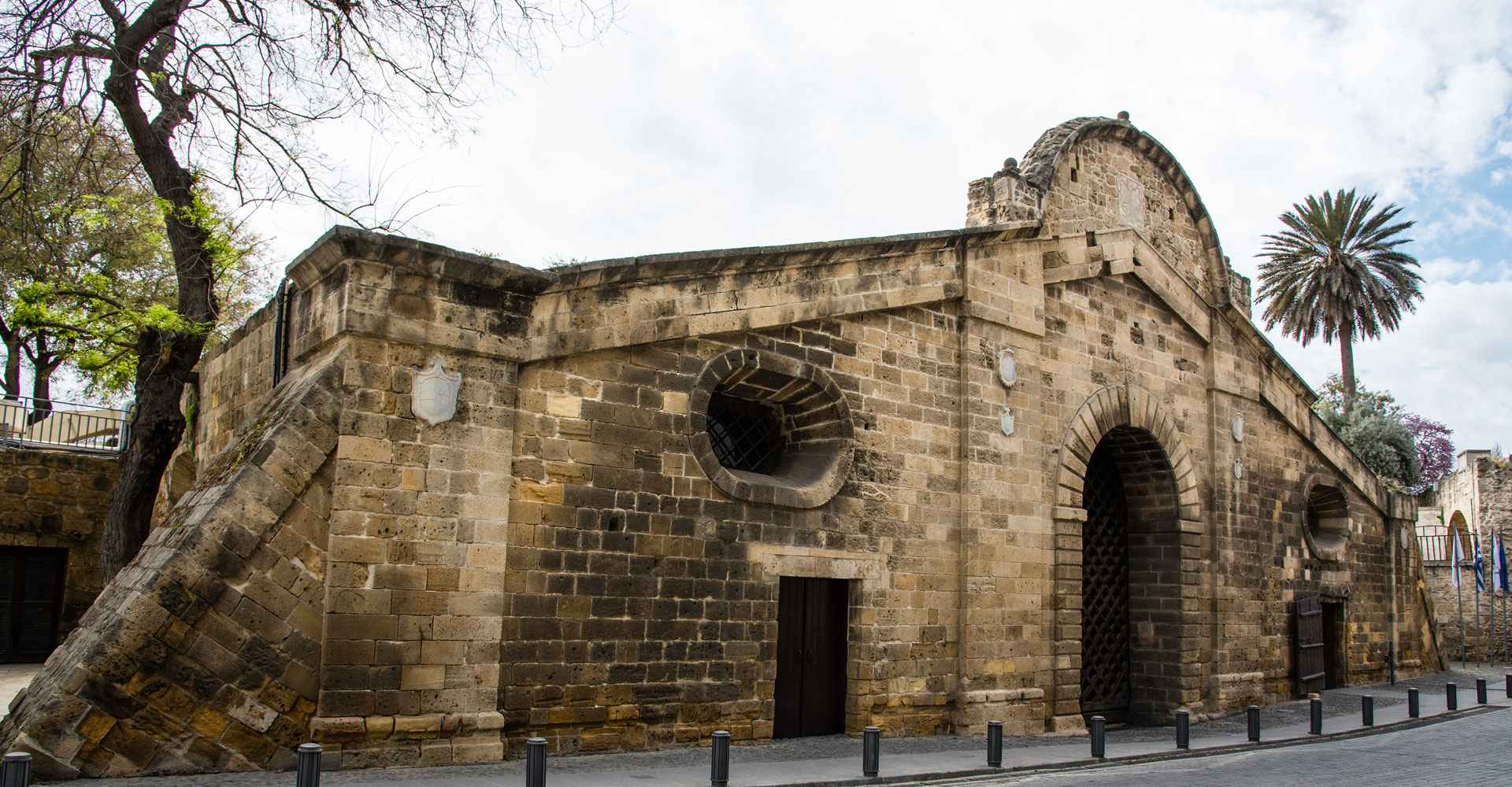
Πύλη Αμμοχώστου – Επαρχία Λευκωσίας
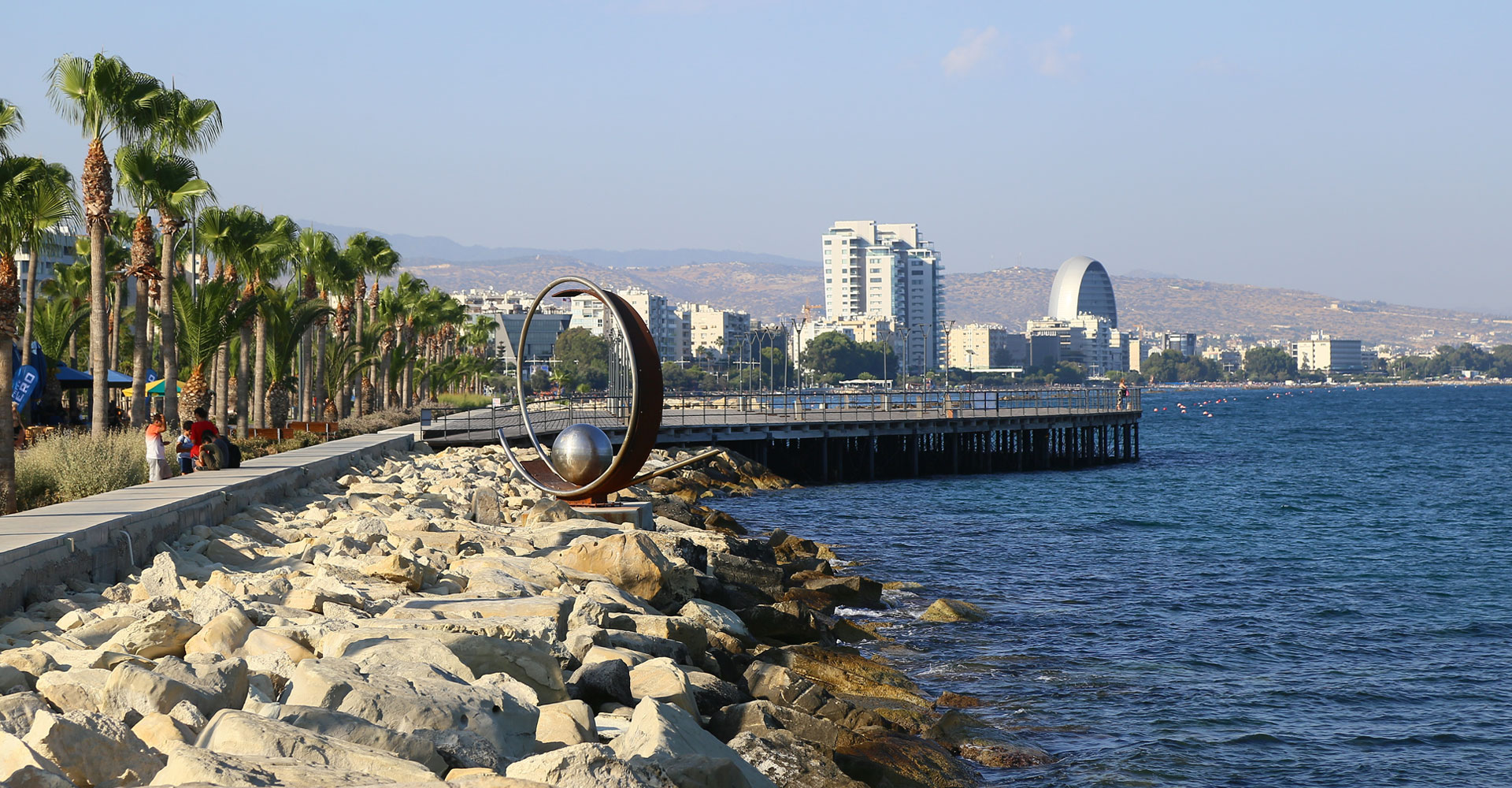
Παραλιακό μέτωπο – Επαρχία Λεμεσού
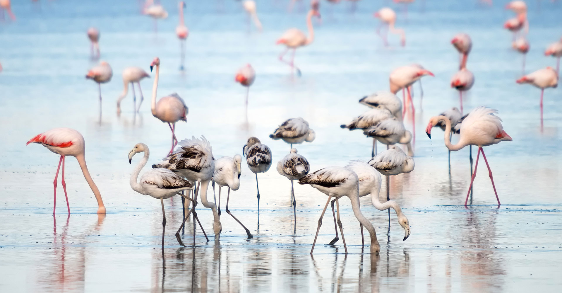
Λίμνη Αλυκής – Επαρχία Λάρνακας
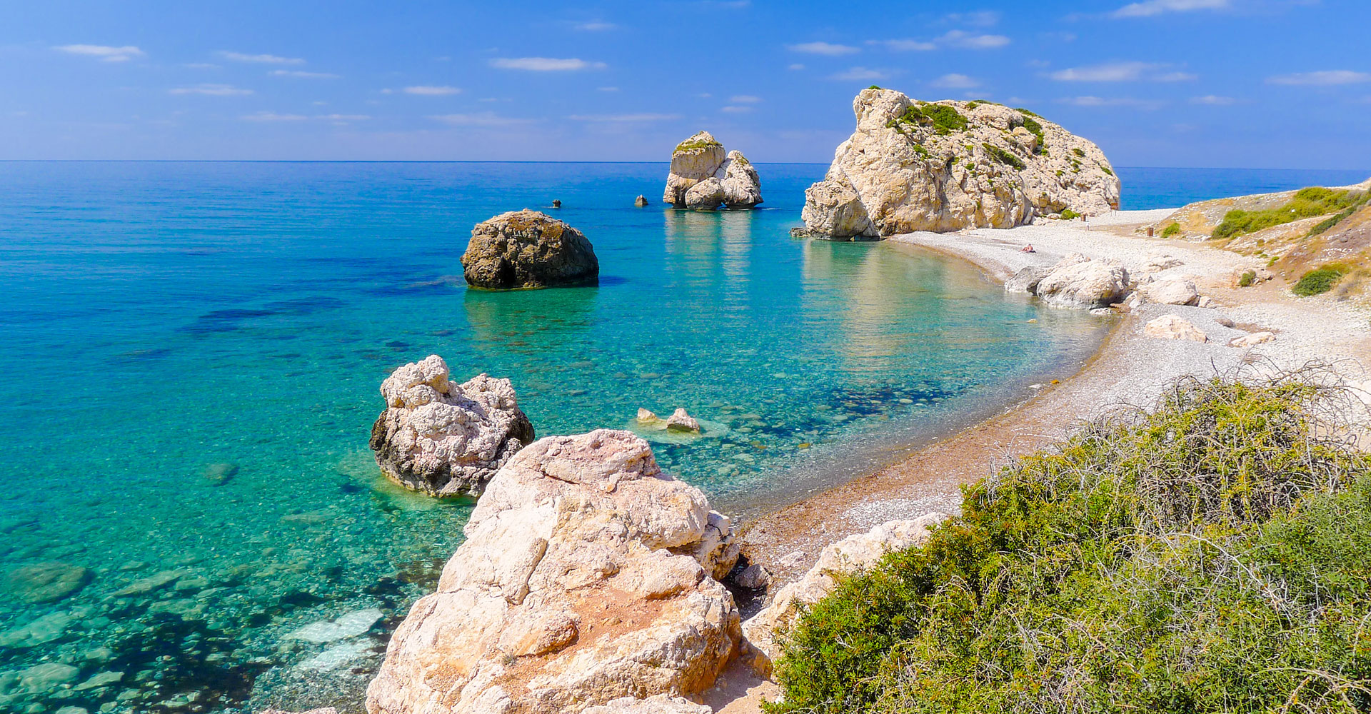
Πέτρα του Ρωμιού – Επαρχία Πάφου
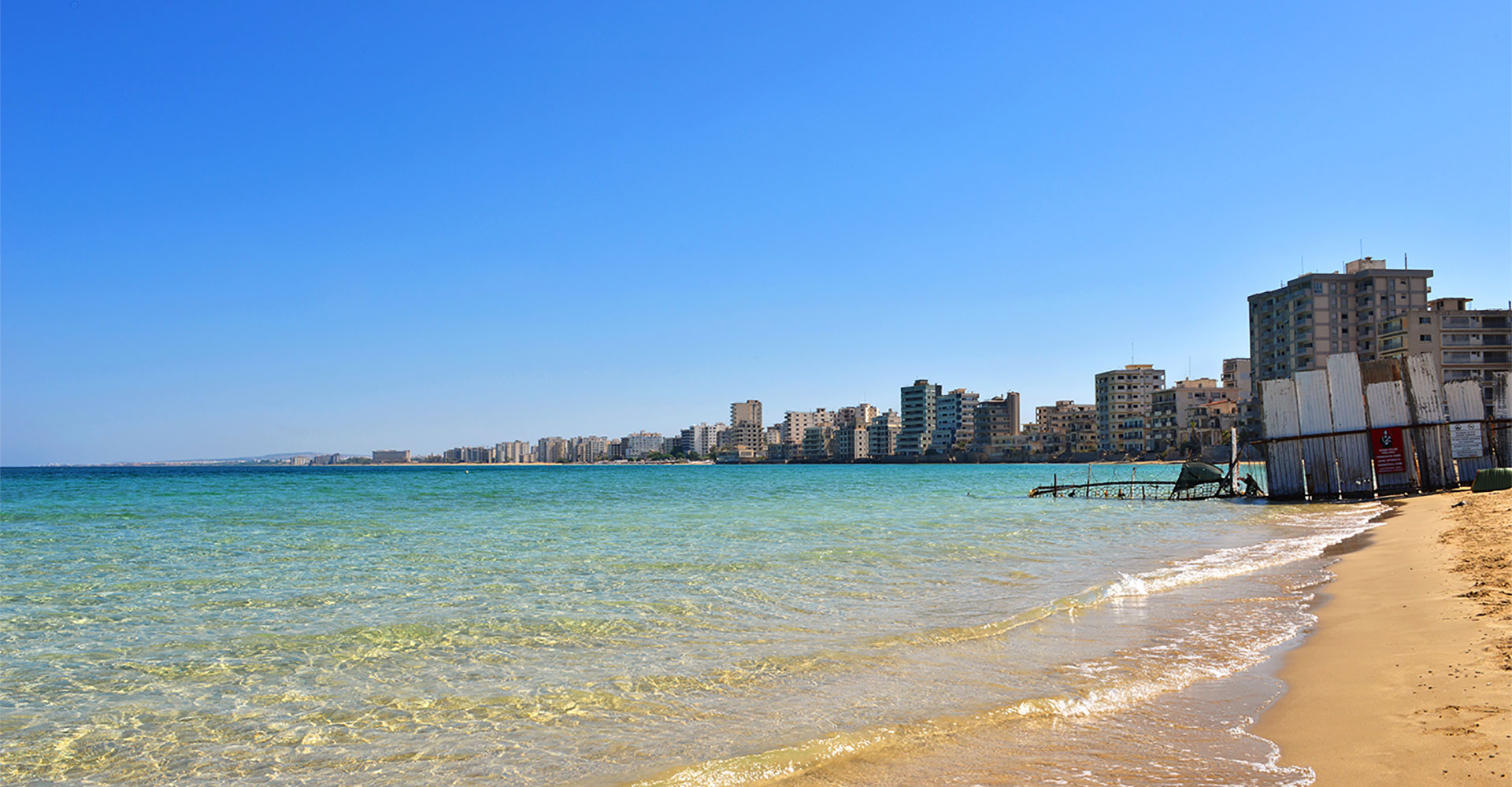
Παραλία Πόλης Αμμοχώστου - Επαρχία Αμμοχώστου
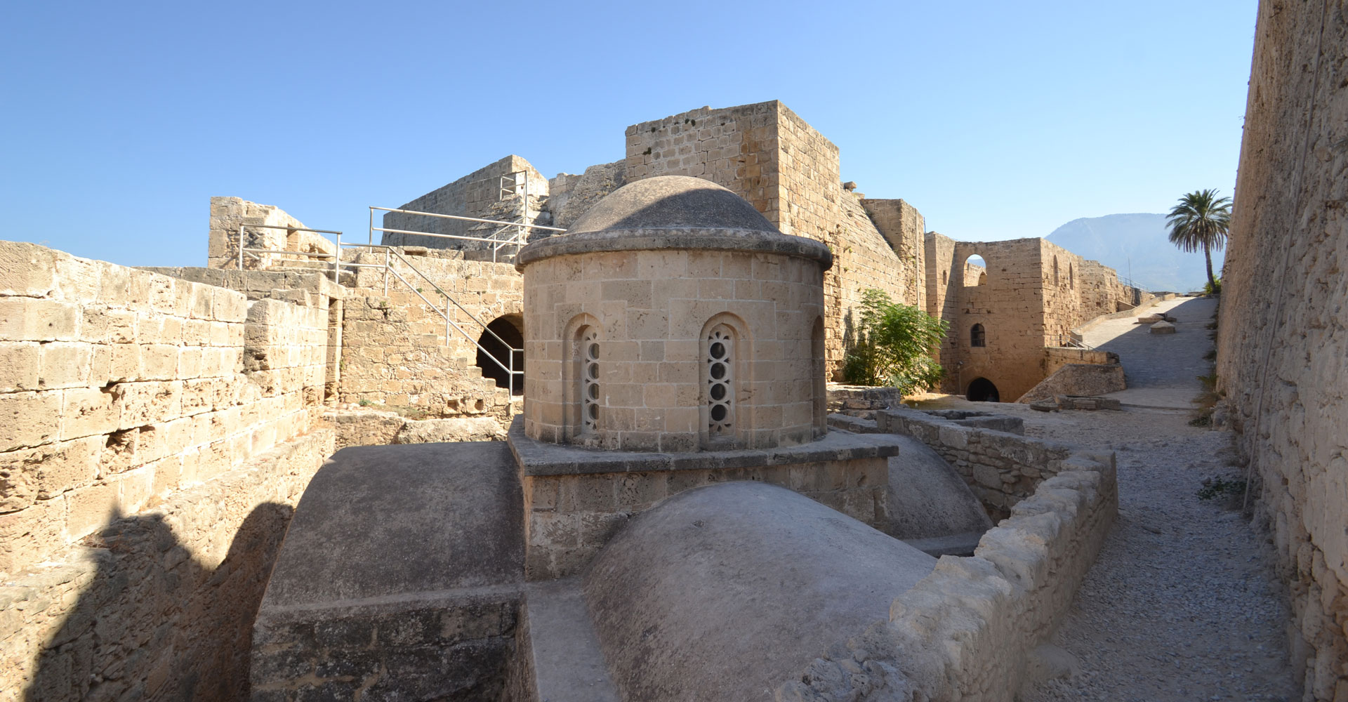
Κάστρο της Κερύνειας – Επαρχία Κερύνειας
Kythrea
Contact Details
Municipality under turkish occupation since 1974
Ammochostou 37
1016 Nicosia
Cyprus
Mayor: Marios Zampakides
Tel.: +357 22438956
Fax: +357 22438955
Email: dimoskythreas@cytanet.com.cy
Website: www.kythrea.com
A few words
Kythrea is located about 12 km northeast of Nicosia, at the southern outskirts of the Pentadaktylos mountain range, and at the northern border of the Mesaoria plain. The Municipality of Kythrea was founded in 1915, with Nicolaos Kattamis as its first mayor. Its extensive municipal boundaries include six parishes: that of Chrysida, Agia Marina, Agios Andronikos, Agios Georgios, Chardakiotissa and Syrkania. In 1974, the Greek Cypriot population of Kythrea was estimated at about 4,500. The town even had three elementary schools, as well as one high school. The town hall was located at the borders of the Agios Andronikos and Agios Georgios parishes. At present, the temporary offices of the Municipality of Kythrea are to be found within the Nicosia walls, near the Famagusta Gate. The town was well known for the magnificent Kefalovrysos, the largest spring water source in Cyprus, which flowed out of the northern parish of Syrkania. Since the period of the Venetian occupation, the Kefalovrysos water, which originated from the Pentadaktylos aquifer, powered 32 watermills, as well as irrigated the fields of Kythrea and the crops of the surrounding area. During antiquity, and up to the Middle Ages, it also supplied Salamis, which was once the capital of Cyprus, with water. Since 1974, the churches of Kythrea have been systematically vandalised and destroyed. The two churches of the upper parishes, Syrkania and Chardakiotissa, were respectively dedicated to Agia Anna and the Virgin Mary (Panagia). The church of the Virgin Mary, which was the largest in the town, has now been turned into a mosque. In the southern parish of Chrysida, the church of the Holy Cross has become a handicraft workshop, while the chapel of Apostle Loukas is dilapidated. Agia Marina, located in the homonymous parish, is used for dance classes, while the monastery of the Virgin Mary (Theotokou) in the homonymous district (part of the Agia Marina parish) is in a military zone. The church of Agios Georgios in the homonymous district is also in a military zone, and it has been turned into a munitions depot. Finally, the church of Agios Andronikos and Agia Athanasia in the parish of Agios Andronikos has suffered inestimable destruction, as the roof has collapsed and the interior is at the mercy of the varying weather conditions. Projects that aim to salvage the damage are now being planned by the bi-communal Technical Committee on Cultural Heritage, as a result of the Kythrea Municipality’s intense efforts. Kythrea also has several other chapels. Kythrea was inhabited since the Neolithic period, around 4,000 BC. Chytroi is referred to in the 7th century BC as one of the ten ancient kingdoms of Cyprus, while it seems that the city experienced great prosperity during the Hellenistic and Roman period, with inscriptions testifying to the existence of a high school. The 2.08 metre statue of the Roman emperor Septimius Severus, which is currently in the Cyprus Museum, was discovered in the Agios Demetrianos area in 1928 and is the largest bronze statue that has been found on the island. It is also important that the aqueduct, which carried water from Chytroi to Salamis, is dated from the Roman period. During the Byzantine period, Kythrea became the bishopric of Chytroi. The greatest religious figure of the time was Agios Demetrianos, the Bishop of Chytroi, who managed to repatriate his congregants after being held captive in Baghdad by the Arabs in the 10th century. It is for this reason that he is considered the Holy Guardian of Refugees. Following the Arab raids, the city was built west of its original position, along the flow of the Kefalovrysos water in the valley. In earlier times, Kythrea was renowned for its production of silk, its weaving and woodcarving, as well as its flour milling industry. It was also known for its cultivation of citrus fruits and its limestone production, as it was surrounded by quarries and limestone manufacturing areas. The town was justly reputed to be a “daskalomana” (mother of teaching), as many intellectuals and educators were born there, as well as doctors, lawyers and other scientists.
At a glance
Lakatameia
Contact Details
P.O.Box: 12012
2340 Lakatameia
Cyprus
Mayor: Dr Photoula Hadjipapa
Tel.: +357 22364000
Fax: +357 22380688
Email: municipality@lakatameia.org.cy
Website: https://lakatameia.org.cy/
A few words
Lakatameia Municipality
Lakatameia Municipality is situated on the southwestern outskirts of Greater Nicosia and comprises of three Municipal Quarters: Lakatameia, Tseri, and Anthoupoli. The Municipal Council is composed of the Mayor, three Deputy Mayors, and 27 Municipal Councilors.
The three Quarters of the Municipality are prime examples of areas that combine historical heritage, social cohesion, and modern infrastructure, making the Municipality an attractive destination for young couples and families. Significant residential investments, a plethora of shops and shopping centers, a traditional market (Laiki Agora), and extensive infrastructure projects have contributed to the area’s upgrade. Emphasis has been given on public spaces, with parks, green areas, squares, cultural and sports facilities enhancing the quality of life of the residents.
Education and cultural activities are also placed high on the agenda, as they have proven to be fundamental pillars of the community and strengthen residents’ connection to their town and its traditions, while simultaneously contributing to the shaping of a modern and progressive society.
Lakatameia Quarter:
Lakatameia is a town with a rich history. While there is no concrete archaeological evidence of an ancient settlement at its present location, it is likely that agricultural communities existed there, supplying Nicosia with agricultural products from the medieval period onwards.
The Turkish invasion of 1974 brought about significant changes to Lakatameia, as it received a large influx of refugees, resulting in a dramatic increase in its population and transformed it, from a small agricultural community, into a large urban area.
The origin of the name Lakatameia is a subject of speculation, with theories based on limited or vague sources, as well as retrospective interpretations of the area’s historical context. One popular theory suggests that Lakatameia originated from the ancient Spartan name Lakedemon, which, over time, evolved during the Lusignan period into its current form. However, a more probable origin is linked to the numerous “alakatia” (traditional water-lifting devices) that were once an important part of the region’s agricultural life. Given the area’s abundance of shallow underground water, these devices were essential for irrigation during the summer months.
The Pedieos River, which flows through the land for 5 kilometers, is the main natural feature of Lakatameia.
Tseri Quarter:
Tseri possesses a unique identity. Evolving from a traditional agricultural community, it has transformed into a bustling area with a thriving economy and significant urban development.
According to the Great Cypriot Encyclopedia (1989 edition), Tseri derives its name from the word “tzierin” (wax) due to the abundance of bees that produced honey and wax in the area. Other theories suggest that the name originated from the toponym “Xeri”, which preceded “Tseri” and is believed to have come from the lack of water resources that historically characterized the region.
The area is famous for its local products, such as olive oil produced from the numerous olive trees found there. In 2019, Tseri successfully included the olive tree (cultivation, products, uses) in the UNESCO Intangible Cultural Heritage List.
Synoikismos Anthoupolis Quarter:
Synoikismos Anthoupolis was created after the Turkish invasion of 1974 to accommodate refugees from 101 occupied villages of Cyprus.
The construction of the settlement was completed in two phases, in 1976 and 1980. Despite the uniformity in architecture, the well-maintained yards and the blooming gardens give it a distinctive character.
Synoikismos Anthoupolis serves as a model of resilience, with reconstruction and improvement projects enhancing the quality of life of its residents.
New Lakatameia Municipality: A Shared History, A Shared Vision!
Lakatameia Municipality continuously strives to adapt to the challenges of the modern era. With a vision to create a community where the citizens’ needs are met, a community that’s modern, adaptable, and puts people first.
Municipal Infrastructure Projects:
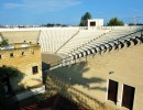
Municipal Amphitheater
The Municipal Amphitheater was the first major project undertaken and designed after Lakatameia became a municipality.
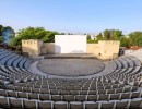
It was inaugured in 1994 and it has a seating capacity of 1,600 people. Since its construction, it has served as the cultural center of Lakatameia during the summer months. Theatrical performances, music and dance events, film screenings, and various festive occasions bring thousands of residents and visitors to the amphitheater, offering them both intellectual stimulation and the joy of coming together.
Municipal Exhibition Hall
Beneath the stands of the Amphitheater, with an excellent use of the space, the Municipal Exhibition Hall was constructed and has been operating since 1996. Equipped with modern facilities for an exhibition space, it hosts exhibitions of paintings and other visual arts, lectures, and various other activities.
Sports Facilities
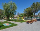
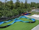
Lakatameia Municipality has a variety of sports facilities, including 7 basketball courts, a skate park, a cycling track, social sports areas, a municipal swimming pool, and a footsall field, offering residents a wide range of sports activities. Notably, the social sports area which is located next to the cycling track, features exercise equipment, calisthenics equipment, and workout equipment specifically designed for wheelchair users and individuals with mobility challenges, as well as picnic tables with board games. Furthermore, an architectural and structural design has been completed in order to transform the municipal stadium of Lakatameia into a multi-sports complex.
Health Center
As a result of long-standing efforts by the municipal authorities, a health center has been constructed and is now operational, providing primary healthcare services. A new floor was added to the health center in 2015, further enhancing primary healthcare services The Cyprus Ambulance Service Headquarter, is also stationed there.
Lakatameia Multifunctional Center
Located next to the health center, the Multifunctional center serves as a center for recreation, creative activities, and care for the elderly, as well as a center for the protection and engagement of school-aged children attending Lakatameia schools. The Administrative Council of the Multifunctional Center is presided by the Mayor, with the participation of members of the Municipal Council and members of Lakatameia Community Council.
Tseri Multifunctional Elderly Care Center
The Tseri Multifunctional Elderly Care Center was constructed by Tseri Municipality, the Department of Social Services of the Ministry of Labor and Social Insurance, and contributions from the Ministry of the Interior, the Nicosia Regional Development Company, the Tseri Ecclesiastical Committee, the Archdiocese, and local residents. It operates as an elderly care center, under the management of the Tseri Community Council. The center also houses the Tseri Outpatient Clinic, which operates nowadays twice a week.
Environment and Parks
Lakatameia has 1,200 green spaces, covering a total area of 950,000 square meters. The Municipality continuously strives, within its financial capabilities and available resources, to maintain and upgrade existing parks and green spaces, as well as to create new ones. Lakatameia plants 3,000 trees and establishes 20 new green spaces annually. Additionally, systematic tree-planting initiatives are carried out in collaboration with organized groups and volunteers in public green areas.
A prominent feature of the municipality’s parks is the Linear Park along the Pedieos River. The creation of a pedestrian path, a cycling path, and a special path for pedestrians with dogs, along with extensive planting along the riverbed, adds a unique character to the city. Within this extensive ecological zone, the Municipality has created spaces that enhance the quality of open areas so that they are also points of social outdoor recreation where the public, especially young people, can spend their free time creatively. The Municipality is carefully planning and scheduling the creation of projects in collaboration with the neighboring municipalities of Nicosia and Strovolos, such as the Environmental Education Center on the western bank of the river.
The Agios Georgios park, which houses the Municipal Amphitheater, a playground, and a cafe, holds a significant place among the parks. Playgrounds and cafes can also be found in the Glafkos Clerides Park (Alexandrou Panagouli Street, Archangelos), Michalis Sophocleous Park (Pedieos Street – K. Lakatameia), and the park at 70 Filias Street in Tseri. In addition to the parks mentioned above, there are 22 other large parks with playgrounds in Lakatameia Municipality. All the playground equipment is inspected and certified according to relevant EU standards.
There are also 50 smaller playgrounds that have emerged from the land division process. The Municipality assumes responsibility for the maintenance of these areas, only when they are handed over to the public (i.e., with the issuance of a Final Approval Certificate).
Another significant project was the creation of a park for dogs. Located next to the Pedieos Linear Park (near the THOI Lakatameia stadium), the park is accessible from both the pedestrian path and Akadimias Street. It is a well-maintained area where dog owners can take their pets and let them play freely in a safe fenced area of 2,500 square meters.
The Municipality is continually striving to provide its citizens with parks and green spaces that meet their expectations, with the sole request that these spaces be protected by visitors.
Lifelong Learning / Culture
Lakatameia Open School
Lakatameia Open School has been operating in Lakatameia Municipality since 2009 and is funded by the Ministry of Education and Culture. The Open School serves the purpose of lifelong learning and simultaneously creates the conditions for the maximum utilization of school facilities for educational, recreational, cultural, and other activities for both children and adult citizens.
Beyond developing cultural activities, the Open School strengthens and tightens the bonds and relationships between citizens, simultaneously providing everyone with the opportunity to make the best use of their free time, while also promoting cooperation, collectivism, and all the values that are cultivated and promoted through healthy and beneficial activities.
The Lakatameia Open School is one of the largest in Cyprus, with the participation of over 2,000 citizens, and its programs are carried out during the morning, afternoon, and evening hours, in order to meet the needs of Lakatameia’s citizens.
Municipal Library
The Lakatameia Municipal Library operates in a suitably designed and equipped space within the building that houses the Municipal Services at 11 Protis Apriliou Street in Lakatameia, while there is also a branch in the building of the old Elenio Primary School, in the Tseri quarter.
The library operates as a reading space and a lending library. Membership is open to anyone who wishes to join by presenting their ID card. Children can also become members when accompanied by an adult.
As part of the Municipal Library, a Reading Club has been operating on a regular basis since June 2013.
Museum of History and Cultural Heritage
The Museum of History and Cultural Heritage of Lakatameia Municipality is located in the traditional core of the Agia Paraskevi parish. The space housing the museum is a traditional house built in 1922.
The museum aims to preserve, study, and highlight the history and cultural heritage of Lakatameia. Through the exhibits, an attempt is made to recreate the life of Cypriot society in the 19th and early 20th centuries.
Culture Clubs
Since its establishment, Lakatameia Municipality has recognized that, in order to enhance the sense of community and cultural enrichment of residents, they should be actively involved. The Municipality has actively encouraged the participation of citizens in shared activities that not only bring them together but also contribute to the creation of a vibrant cultural scene.
With this vision in mind, various cultural groups have been established, including a Folklore Group, the Lakatameia Municipal Choir, the Tseri Quarter Choir, the Municipal Philharmonic Orchestra and a Photography Club.
More information about Lakatameia Municipality can be found on its website at www.lakatameia.org.cy
At a glance
Latsia – Geri
Contact Details
57 Yiannou Kranidiotis Ave, 2235
P.O.Box: 12540
2250 Latsia
Cyprus
Mayor: Christos Pittaras
Tel.: +357 22878688
Fax: +357 22487213
Email: municipalityl@latsia-geri.org.cy
Website: https://latsia-geri.eu/
A few words
ΙΣΤΟΡΙΚΗ ΑΝΑΔΡΟΜΗ
Τα παλαιότερα ίχνη πολιτισμού στα Λατσιά εντοπίζονται σε μια μικρή κατασκευή και μια δεξαμενή, οι οποίες χρονολογούνται στην Ελληνιστική περίοδο (325-50 π.Χ.). Ωστόσο, δεν υπάρχουν άλλα στοιχεία που να υποστηρίξουν ότι τα Λατσιά ήταν οικισμός κατά την εποχή εκείνη. Πρέπει, επομένως, να αναζητήσουμε τις καταβολές τους πίσω στο Μεσαίωνα. Τα Λατσιά ήταν πιθανότατα μεγάλο φέουδο κατά τη Φραγκοκρατία (1192-1489) και την Ενετοκρατία (1489-1570)· αυτό διασώζει η προφορική παράδοση, η οποία ενισχύεται από χάρτες των σχετικών περιόδων. Το 1571, όταν οι Οθωμανοί κατέλαβαν την Κύπρο, τα Λατσιά έγιναν τσιφλίκι (κτήμα, μεγάλο τεμάχιο γης που καλλιεργούνταν από τους ντόπιους και ανήκε σε ένα πλούσιο Τούρκο, τον επονομαζόμενο αγά) και, εικάζεται ότι (σύμφωνα με την προφορική παράδοση), ο πυκνός πληθυσμός αφανίστηκε από τους κατακτητές.
Το 1790, ο Κιόρογλου, ο αγάς αρκετών περιοχών (Αγλαντζιά, Γέρι, Δάλι, Δευτερά, Λατσιά, Παλλουριώτισσα, Στρόβολος, Χρυσοσπηλιώτισσα και Ψημολόφου) – και, σύμφωνα με τον εθνικό μας ποιητή, Βασίλη Μιχαηλίδη, προσωπικός φίλος του Αρχιεπισκόπου Κυπριανού – αποφάσισε να πουλήσει ένα από τα τσιφλίκια του στους ανθρώπους που το καλλιεργούσαν, επειδή ήταν περισσότερο από ευχαριστημένος από τη δουλειά τους, και επίσης από τα «δώρα» τους, που περιελάμβαναν πισσώδη καυσόξυλα από πεύκο. Πρέπει, εν τούτοις, να λάβουμε υπόψη και τις συνεχείς ξηρασίες και σκωριάσεις, τη μειωμένη παραγωγή των καλλιεργειών και την ανεντιμότητα μερικών δούλων, παράγοντες οι οποίοι συνέβαλαν στην απόφασή του να πωλήσει το τεμάχιο. Φαίνεται πως ο Κιόρογλου αποφάσισε να συνδυάσει την καλοσύνη με την πώληση. Οι γεωργοί ήσαν χωρικοί από το Λυθροδόντα, ένα μεγάλο χωριό γύρω στα 21 Χμ (13 μίλια) νοτιοδυτικά της Λευκωσίας. Έπρεπε να επιλέξουν ανάμεσα στα Λατσιά και το Κουπάτι, μια περιοχή στο κεντροανατολικό μέρος της Λευκωσίας. Επέλεξαν τα Λατσιά, καθώς ήταν πιο κοντά στο Λυθροδόντα αλλά, επίσης, επειδή ήταν αρκετά μεγαλύτερα και πιο εύφορα, επιτρέποντάς τους να καλλιεργούν κάθε είδους γεωργικά προϊόντα.
Έτσι, δεκαέξι (16) Ελληνοκύπριοι και ένας Τουρκοκύπριος καδής (αρχιδικαστής), που ονομαζόταν Κιουφής, αγόρασαν τα Λατσιά, μια περιοχή 11.600 σκάλων (1 σκάλα = 1.337,8 τετρ. μέτρα ή 14.400 τετρ. πόδια) για την τιμή των 14 πουγκιών (ένα πουγκί άξιζε 500 ριάλια, τα λεφτά της εποχής). Ο Κιουφής προσέφερε το ένα πέμπτο της τιμής και το χωριό διαχωρίστηκε σε είκοσι (20) τεμάχια, τέσσερα (4) για τον Κιουφή και ένα (1) για κάθε Ελληνοκύπριο. Ο Κιουφής, κατέχοντας σημαντική περιουσία στο Λυθροδόντα, τους βοήθησε για να διασφαλίσουν την ασφάλειά τους στα Λατσιά και επίσης τους βοήθησε όταν οι απόγονοι του Κιόρογλου έγειραν αξίωση για το τσιφλίκι. Αυτοί οι δεκαεφτά άνθρωποι αναζωογόνησαν τον οικισμό, ένα χωριουδάκι για την ακρίβεια, ερχόμενοι το φθινόπωρο (Οκτώβριο και Νοέμβριο) για να σπείρουν σιτάρι και να φυτέψουν ελαιόδεντρα και το καλοκαίρι (Μάιο μέχρι Αύγουστο) για να μαζέψουν τη σοδειά, να θερίσουν και να αλωνίσουν, και να μαζέψουν τις ελιές. Παρόλα αυτά, επέλεξαν να μην κατοικούν στα Λατσιά, όχι μόνο επειδή θεωρούσαν το Λυθροδόντα καλύτερο και πιο ασφαλές μέρος (το επονομαζόμενο «μικρό Παρίσι»), αλλά επίσης επειδή δεν υπήρχε εκπαιδευτική και δομική υποδομή στο χωριό. Μόνο μια χούφτα ανθρώπων παρέμεναν στα Λατσιά, με σκοπό να καλλιεργούν το σιτάρι και να σιγουρεύονται πως όλα ήταν εν τάξει. Ο Κιουφής χάρισε μέρος της γης του στον αδερφό του, ο οποίος – με τη σειρά του – το πώλησε σε έξι (6) Ελληνοκύπριους για την τιμή ενός πουγκιού ανά 100 σκάλες. Οι έξι αυτοί άνδρες διέμεναν μόνιμα στα Λατσιά, με σκοπό να διεκπεραιώνουν τις γεωργικές εργασίες και τις εργασίες επιδιόρθωσης. Στις 30 Απριλίου 1909 (δύο χρόνια μετά το θάνατο του Κιουφή), οι τέσσερις κληρονόμοι πώλησαν τα κτηματικά δικαιώματά τους σε οχτώ (8) Ελληνοκύπριους για την τιμή των £350. Είναι συχνό να βρίσκουμε μικροτοπωνύμια σχετιζόμενα με τους πρώτους αγοραστές.
Στα μέσα του 19ου αιώνα, μερικοί από τους ιδιοκτήτες άρχισαν να εγκαθίστανται στα Λατσιά, όχι μόνο επειδή η γη ήταν πιο εύφορη, αλλά λόγω και της εγγύτητας των Λατσιών προς τη Λευκωσία – το κέντρο της οικονομικής και εμπορικής ζωής του νησιού – ούτως ώστε να μπορούν να πωλούν τα προϊόντα τους πιο εύκολα. Ωστόσο, δεν ήταν μέχρι το 1930 που ιδρύθηκε Δημοτικό σχολείο. Πρωτύτερα, τα παιδιά έπρεπε να παρακολουθούν σχολείο είτε στο Λυθροδόντα είτε στο Γέρι, ένα γειτονικό χωριό. Αρκετά σπίτια από τα τέλη του 19ου και αρχές του 20ου αιώνα μπορούν να βρεθούν στην παλιά περιοχή των Λατσιών. Επειδή το κύριο εισόδημα των Λυθροδοντιατών προερχόταν από την ελαιοπαραγωγή, άρχισαν να φυτεύουν όλο και περισσότερα ελαιόδεντρα στα Λατσιά.
Μετά το Β’ Παγκόσμιο Πόλεμο, όλο και περισσότεροι Λυθροδοντιάτες άρχισαν να μετοικούν στα Λατσιά, μαζί με τις μεγάλες οικογένειές τους, έτσι ο πληθυσμός συνέχισε να αυξάνεται. Η Τουρκική εισβολή και η συνεχιζόμενη κατοχή ανάγκασαν 185.000 – 200.000 Κύπριους να καταστούν πρόσφυγες στην ίδια τους τη χώρα, καθιστώντας αναγκαίο το κτίσιμο πολυάριθμων προσφυγικών από την κυβέρνηση σε όλο το νησί. Τρεις απ’ αυτούς κτίστηκαν στα Λατσιά (συν μια προσφυγική αυτοστέγαση), αυξάνοντας τον πληθυσμό δραματικά. Αυτό, σε συνδυασμό με τη γενική τάση του κόσμου από το κέντρο της Λευκωσίας και χωρία κοντά στην πρωτεύουσα να μετακινούνται στις περιοχές των προαστείων της Λευκωσίας, είχε ως αποτέλεσμα την πληθυσμιακή έκρηξη που έκανε τα Λατσιά μια κωμόπολη που συνεχίζει να αυξάνεται ραγδαία.
At a glance
Lefkosia
Contact Details
P.O.Box: 21015
1500 Lefkosia
Cyprus
Mayor: Charalambos Prountzos
Tel.: +357 22797000
Fax: +357 22663363
Email: municipality@nicosia.org.cy
Website: www.nicosia.org.cy
A few words
The newly formed Municipality of Nicosia, resulting from the merger of the Municipalities of Nicosia, Aglantzia, Engomi, and Agios Dometios, represents a unique destination that seamlessly blends the city’s rich history with the vibrancy of modern life in Cyprus.
Nicosia, the only European capital that remains divided, is a city brimming with contrasts and surprises, where cultural heritage harmoniously coexists with contemporary amenities and the dynamic character of major European urban centers. The city’s history, spanning several centuries, is evident in every corner, from its medieval walls to its modern buildings, while daily life integrates effortlessly with remnants of the past.
The Old City of Nicosia, with its impressive Venetian Walls constructed in the 16th century for the city’s protection, is home to a multitude of historical and cultural monuments. Within its bounds, visitors will find museums, Byzantine churches, medieval buildings, as well as narrow alleys that evoke a sense of romance and nostalgia for bygone times. On the opposite side of the city, Nicosia offers the modern lifestyle with shopping centers, cafés, restaurants, and luxury hotels, infusing the city with a cosmopolitan atmosphere and a fast-paced rhythm of life.
Nicosia has always been at the heart of Cyprus’s history, culture, and political life. Today, the city center is steadily progressing towards sustainable development and innovation, skilfully blending tradition with technology and digital transformation. The city is making significant investments in digital advancement and green development, with the aim of becoming a modern and sustainable European capital, offering new opportunities for the future of its citizens.
As a hub of history and culture, the Municipality of Nicosia offers its visitors an authentic experience of Cypriot heritage and culture, through an array of monuments and archaeological sites that narrate the city’s story from ancient times to the present day. Among the most notable landmarks are:
- Medieval Venetian Walls
• Famagusta Gate
• Paphos Gate
• Laiki Geitonia
• Archbishopric
• Hamam Omerye
• Axiothea Mansion
• Statue of Liberty
• Nicosia City Hall
• Pancyprian Gymnasium
• Nicosia Multipurpose Municipal Center
• Aqueduct
• Heroes Monument
• Aronas
• La Cava Castle
• Cafizin
• Lefkomiatis
• Tomb of the Makedonitissa
These monuments and archaeological sites stand as true treasures of Nicosia, providing visitors with the opportunity to explore a city that tells its own story, from ancient times through to the modern era. Moreover, these landmarks are intricately linked to the city’s ongoing development, creating an environment where tradition and innovation coexist in harmony.
The newly established Municipality of Nicosia underscores the importance of sustainable development and cultural heritage, offering both residents and visitors a city that honors its past while looking forward to the future with optimism and creativity.
At a glance
Morfou
Contact Details
Municipality under turkish occupation since 1974
16 Zynonos Sozou
1075 Lefkosia
Cyprus
Mayor: Victor Hadjavraam
Tel.: +357 22447333, +357 22447334
Fax: +357 22762015
Email: info@morphou.org.cy
Website: http://www.morphou.org.cy
A few words
The Morphou Municipality was established in 1883 and is one of the oldest municipalities in Cyprus. The lovely small town of Morphou is built in the western central valley of Cyprus near Serrahis River and an area of approximately 5.636 acres comes under its administrative jurisdiction. The population of Morphou is currently estimated from 10 to 12 thousands.
Morphou was inhabited since the ancient times, which is evidenced from the numerous settlements that have been discovered and excavated in the town’s surrounding area giving, therefore a testimony of its rich history and great culture. According to the most valid theory about the origin of Morphou’s place name, this is related to the goddess Aphrodite, as one of the goddess’ names has been Morpho, which was how the goddess was worshiped in the ancient Greek world, mainly in Laconia in Peloponnese. This theory connects, consequently, Morphou to the Laconians, who settled possibly in the western part of the big central valley of our island.
The small town of Morphou experienced a big growth mainly due to its prospering economy because of its arable land and the endless citrus plantations in the area. These sources made Morphou the leading town in culture, letters, arts and sports.
However, on 16th August 1974 upon completion of the second round of the Turkish invasion of Cyprus, Morphou was, unfortunately, conquered by the Turkish occupying forces. The legitimate inhabitants of the area were forced to leave their home and to move to the southern areas of Cyprus. Since then, the Morphou Municipality has been devoted to the struggle for a fair and viable solution to the Cyprus Problem in order to enable all the displaced people to go back to their fatherland.
From 1974 onwards, our Municipality has considered the struggle for return and justice its priority. Morphou Municipality becomes also active in culture-related events but also in our country’s religious traditions aiming at keeping alive our occupied land’s memory.
As part of such activities, our Municipality has so far twinned with nine Municipalities: five Municipalities in Greece (Sparta, Kalavryta, Ermoupoli, Orestiada and Missolonghi) one Municipality in France (Saint Cyr Sur Loire) one Municipality in the United Kingdom (Barnet) and one Municipality in Malta (Zurrieq). Last but not least in 2008 the Morphou Municipality twinned with the Muncipality of Slovenj Gradec in Slovenia.
Despite the problems experienced by our Municipality, we are pleased to say that all our nine twinned cities are absolutely active. We are constantly and regularly in contact with these nine Municipalities and despite the fact we are twinned with some of these towns for more than 20 years, the friendship ties have become stronger instead of being damaged in so far that we feel them like our real brothers.
Our Municipality participates in almost all the big events organized by our twinned towns and we have launched many events (cultural, photography, youth exchanges, dancing groups, choirs and so on and so forth) in all the above stated towns without exception. On the other hand, all the nine twinned towns honour with their presence our annual event against the Turkish occupation, joining forces to ours in the struggle for freedom and justice, while they have been invited and participated in many other cultural events organized by our Municipality in Cyprus.
Further to the twinning with the above nine towns, the Morphou Municipality has concluded exceptional relationship with many other towns too, while participating in international and other organizations. Our Municipality enjoys membership in the Network of Cities Aphrodite and in the United Nations Peace Messenger Cities chaired by our Municipality.
At a glance
South Lefkosia – Idalio
Contact Details
P.O.Box: 11025
2540 Dali
Cyprus
Mayor: Stavros Hadjiyiannis
Tel.: +357 22 444888
Fax: +357 22 444889
Email: sni@sni.org.cy
Website: http://www.dali.org.cy/
A few words
Dali in our days
Dali is located in the Nicosia District. It is located approximately in the center of the island, 17 km from Nicosia, 23 km from Larnaca and 50 km from Limassol. Its area covers 31 sq. Km and consists of two residential areas, the Panagia Evangelistria Parish and the Parish of Saints Constantine and Helen, the Industrial Zone, the Livestock Zone and the Agricultural Zones. The number of residents currently stands at around 12,000.
In 1996, after a referendum, Dali became the 24th Municipality of Cyprus, the Municipality of Dali.
At first the modern Dali was built on the southern side of the river Idalia (Yiallias), today’s Panagia Evangelistria parish. Since 1983 a new settlement has been created on the north-eastern border of Idalion, which borders with Latsia and Geri, the Parish of Saints Constantine and Helen.
The Industrial Zone was established in 1981 and is located along the Nicosia Limassol highway, bordering with Pera Chorio-Nisou, Latsia and Geri. Due to its geographical location the Industrial Area has developed very fast, being today one of the largest industrial areas in Cyprus.
The inhabitants of Dali have always been concerned with agro-livestock farming and various other crops due to fertile soil. Dali currently holds the first place nationwide in milk production. This production exceeds 130,000 liters of milk per day. The main occupations of the inhabitants at present are agro-livestock farming, construction work, various small and medium-sized enterprises or they work in private and state services.
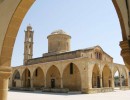
In Dali the following churches and temples are maintained and operated: the Metropolitan Church of Panagia Evagelistria, Saints Constantine and Helen church, Saints Andronikos and Athanasia church, Saint Theodoros church, Saint Artemios church and the Byzantine churches of Saint Georgios the Tropeoforos, Saint Mamas and Saint Dimitrianos of Agridioto. Since 2007, the Holy Metropolis of Trimithoundos has its seat in Dali. The mosque in the center of the community testifies the co-existence of Greek Cypriots and Turkish Cypriots before the Turkish invasion of 1974. The Mosque was renovated in 2006 and today is operated to serve foreign citizens residing in Dali and surrounding communities.
As the capital of the surrounding area, Dali operates a Regional Health Center, which serves communities in the wider region of more than 30,000 inhabitants.
Education has a long tradition in Dali. The first elementary school was founded by Papa-Chrysanthos Oikonomos, who was born in 1809 or 1810 in Dali and served for many years as a priest in Dali and Larnaca. In 1841, the church of Saints Andronikos and Athanasia was erected by his personal donations of property and money, and in 1858, with the donation of a privately owned building next to the church of Saints Andronikos and Athanasia, he founded the first elementary school.
Education is one of the first development goals for the city of Idalion (Dali). The Municipal Authority supports the city’s educational institutions in a variety of ways.
Nowadays in Dali there are seven kindergarten schools, three primary schools and a Lyceum school.
Since 1966, the Municipal Library has also been supporting the education sector. Today, the Municipal Library has over 12,000 books and numbers 2,000 members.
The cultural and intellectual development of the Municipality has always been on very high levels. Many citizens of Dali have stand out in the fields of education, literature, poetry, music, sports, theater and the fine arts.
The cultural activity of both the Municipality of Dali and its citizens through other organized organizations and associations, with a long, rich, multifaceted and qualitative tradition, demonstrates the high livelihood, spiritual and social level of the city.
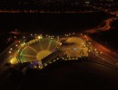
Within the support of the cultural development of Idalion, the Municipality of Dali has erected an open-air amphitheater of 1060 seats, next to the eastern acropolis of Ancient Idalion.
The Municipality of Idalion is twinned with three European cities: Combs-la-Ville in France since 1978, Acharnes in Greece since 2008 and Orte in Italy since 2013. In 2014, the Municipality of Dali signed a protocol of cultural cooperation with the city of Wieliszew in Poland.
The main characteristic of the inhabitants of Idalion is their diligence, friendly mood, hospitality and the intense effort to preserve our historical, folklore and cultural tradition.
Visitors today have the opportunity to tour in three themes: the Historical Route, the Religious Route and the Cultural Route, as well as entertain in traditional or modern recreation areas.
History of Idalion
According to tradition, Idalion was one of the Kingdoms of Cyprus. It was founded by the hero of the Trojan War, Halkanora. According to tradition, Halkanoras, whose origin was from the town of Amykles near Sparta, as he was returning from Troy, where he took part in the siege, he arrived in Cyprus near Salamina. There, an oracle told him to travel with his army and where he would see the sun rising to build his own city.
So Halkanoras with his army left from Engomi / Alasia and arrived at the place where he founded the city of Dali (where he saw the sun rising).
The founding of the city according to the finds dates back to 1200 BC.
Before the 12th century BC (1650-1050 BC), on the south and southwest side of the river there were settlements of the last copper age. The ancient tombs that have been found testify that the city of Idalion has been inhabited continuously since the 12th century BC. century until the end of Roman times, around 400 AD. From inscriptions and coins it’s also concluded that the Greek element dominated the city of Dali.
The point where the city of Idalion was built was of great importance. It was built in such a way that it covered two hills to the south and the plain to the north towards the riverbed of the Yiallias river. The cover of the two hills was a natural fortress, and the river was vital to the inhabitants of Idalion. Of great importance, apart from the river and the fertile land, was the proximity of the town with copper-bearing areas (Mathiati and Sia villages). At some stage, copper was one of the main occupations of the inhabitants of Dali.
In both hills were the eastern and western acropolis. On the east acropolis there was the temple of Aphrodite and Apollo Amyclaus. In the west, which was the main acropolis, there was the temple of Athena, which was also the patron goddess of the city. The temple of Athena was destroyed around 470 BC. when the city was conquered by the Phoenician kings of Kition.
Underneath the two citadels to the north there was the city, surrounded by walls and it was estimated to cover an area of about 100 km2. The oldest part of the walls is estimated to have been built during the 7th-6th century BC.
In other parts of the city there were temples devoted to other deities, a total of 14 temples are mentioned.
During the reign of Stasikipros, the city of Dali was besieged by the inhabitants of Kition (Phoenicians) with the help of the Medes (Persians). An important documentary evidence of the siege of Dali from Kition around 470 BC. is the famous “Plate of Idalion”, a bronze plaque with an engraved inscription on Cypro-Syllabic script found on the western acropolis. It is the earliest written agreement that has been found and refers to the land property of the king, the city and the church, the succession, the taxation of income from the earth, and the protection of the title of property with guarantors being the king, the city and the patron goddess of the city.
From the contents of the plate it is also concluded that the city of Idalion retained a sort of democratic system where the king ruled together with the Council of the Archons until the conquest of the city by the Phoenicians of Kition around the middle of the 5th century BC.
After the conquest of the city by the Phoenicians, in 312 BC. the city was conquered by the Ptolemaic Kingdom based in Egypt by Ptolemy I Soter (the successor of Alexander the Great), who abolished all the Cypriot kingdoms. Thence forward Cyprus has been part of the Ptolemaic Kingdom and later a province of the Roman Empire. In the Roman period (58 BC -330 AD) Idalion, in written sources, is being referred as a town.
In Roman times small fields and large agricultural farms are being created, until the first Byzantine years, where people called “pariki” cultivate the land on behalf of the state or the church.
There are also “deputies” who are obliged to deliver the fruit of the land to their masters. During the later Byzantine years, 800-1191 AD small landowners disappear. At this stage there is only state land, ecclesiastical land, monastic land and noble land.
During the Byzantine and Frankish era, the biggest problem faced by the inhabitants of Cyprus was the raids by the Saracens (Arabs), who swept the Mediterranean and looted the cities of Cyprus. In particular, according to Leontios Machairas, the Saracens occupied Dali in 1426 AD.
From 1191-1489 AD the Crusaders and the Lusignans come to Cyprus, who adopt the feudal system, a regime based on the social order without interest in individual rights. At this time the land is gathered in the hands of the King of Franks, the nobles, the knights and the Latin church. Thus, in 1474 AD Dali, along with other villages, was given by the queen of Cyprus Catherine Cornaro to the nobleman Georgios Kontarini.
The Ottoman Empire follows, where we see an increase in ecclesiastic and Muslim property. The fear of Greeks and Turks from raids led them to make donations of their estates to the churches to protect them. The result of this situation was the creation of large rural areas in the area, since the Sultan gave fertile land to prominent military officers or administrators from Turkey.
From 1878 until 1960, the British Empire conquers the island until 1960, when Cyprus was proclaimed an independent democracy.
Idalion until 1974 was a mixed village ( Greek-Cypriots and Turkish-Cypriots living together), but after the Turkish invasion, the Turkish Cypriot residents left the village, except a few families, and went to the occupied areas of the island. From the battles of 1963 and the Turkish invasion of 1974, Idalion numbered 21 dead and missing.
During the Turkish invasion of 1974, 29 men held captive in Adana (Turkey) were released after the end of the war.
At a glance
Strovolos
Contact Details
P.O.Box: 28403
2094 Strovolos
Cyprus
Mayor: Stavros Stavrinides
Tel.: +357 22470470
Fax: +357 22470400
Email: municipality@strovolos.org.cy
Website: www.strovolos.org.cy
A few words
Historical Overview
The Municipality of Strovolos was established in 1986 under the Municipalities Law N. 111/85. It is the third-largest municipality in Cyprus, following Nicosia and Limassol, with a population exceeding 70,000 residents.
Strovolos is now a large suburb, covering an area of 25 square kilometers. It is divided into six parishes: Chryseleousa, Agios Dimitrios, Apostolos Varnavas and Agios Makarios, Agios Vasileios, Ethnomartyr Kyprianos, and Stavros.
The development and current form of Strovolos emerged after the tragic events of 1974, when Turkey invaded Cyprus and occupied 38% of the island’s territory. As a result, many refugees settled in the area of the municipality.
Points of Interest
Key landmarks of the Municipality of Strovolos include:
- The Linear Park of Pedieos River, which passes through the municipalities of Strovolos, Lakatamia, and Nicosia.
- The Church of Panagia Chryseleousa, located in the historic core of Strovolos, alongside the Chapel of Agios Georgios, historical monuments around which the old center of Strovolos extends.
- Ethnomartyras Archbishop Kyprianos Museum, a historical and Byzantine museum housing treasures from Strovolos and its churches. The museum, located in the heart of the old core opposite the church, is managed by the Municipality of Strovolos.
Additionally, the old Strovolos Town Hall on Archbishop Kyprianos Street has been transformed into the Cultural Center and Library of the Municipality, hosting numerous high-quality cultural events. The municipality also boasts a Municipal Theatre (100 Strovolos Avenue) and a variety of parks and green spaces, the largest being Agios Dimitrios Park. Acropolis Park hosts some of the capital’s largest outdoor festivals, such as the Book Festival and the UptoYouth Festival.
Useful Links
At a glance
LINKS
Contact us
Address:
78, Rigainis Str. CY-1010 Nicosia
P.O.Box 22033, CY-1516 Nicosia, Cyprus
Tel: +357 22 445170
Fax: +357 22 677230
Email: endeky@ucm.org.cy
